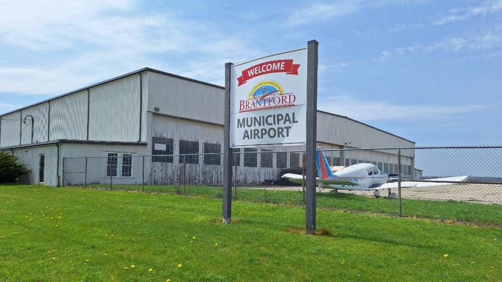
The City of Brantford and the County of Brant have released a new plan for the potential boundary adjustment that would see hundreds of acres of land near the Brantford Municipal Airport transferred to the city’s jurisdiction.
The revised proposal removes 469 acres, including some agricultural land, from the transfer area, meaning the total amount of land included in the deal would be 848 acres.
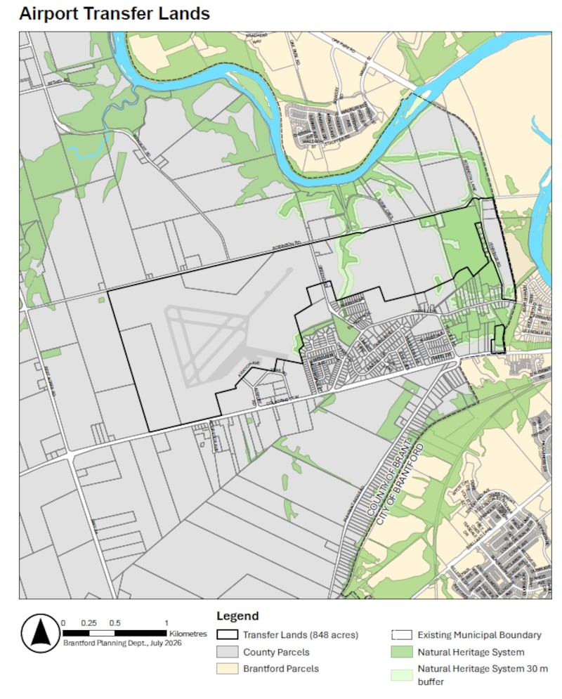
In a joint statement, the city and county said the decision was made as a direct response to public feedback.
Residents are encouraged to take a look at a new map reflecting the changes and submit their opinions through the Let’s Talk Brantford website. Two statutory public meetings will also be held to gather more feedback. The first meeting will be held at Brantford City Hall on Dalhousie Street on Monday, July 27 at 6 p.m. The second session will be held on July 29 at 6 p.m. at the County of Brant Council Chambers on Broadway Street in Paris. The municipalities will be releasing more details about how to participate closer to the dates.