Toronto reels from violent storm as crews tackle widespread damage
‘Major repairs’ still needed throughout GTA after massive storm: Toronto Hydro
Toronto fire says ‘just shy of 1,500 calls’ came in during massive storm: chief
City streets closed due to clean up efforts after ‘wild storm’
Timelapse shows 'dangerous thunderstorm' descend on the Toronto skyline
Drivers stranded under flooded Toronto underpass rescued by police
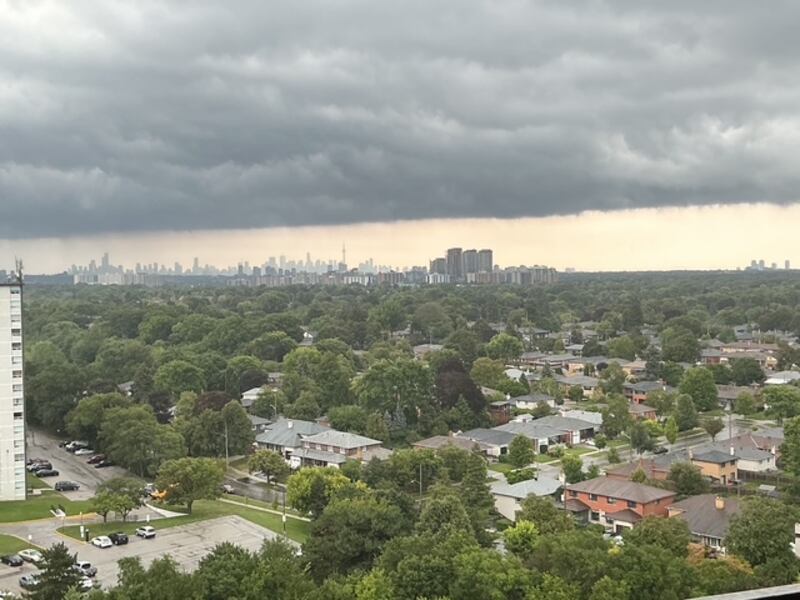
A cold front combined with hot and humid air made conditions ripe for what the city has described as a “100-year storm” on Wednesday.
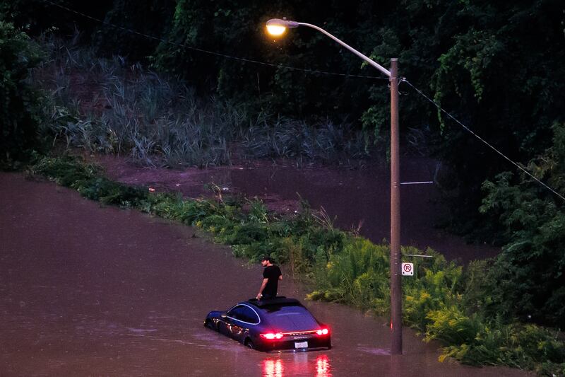
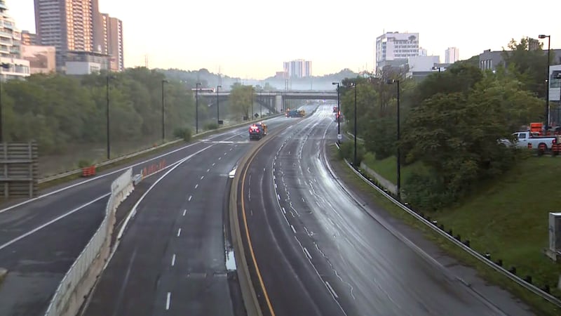
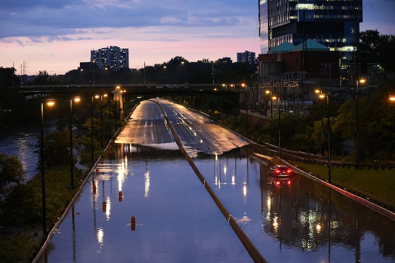
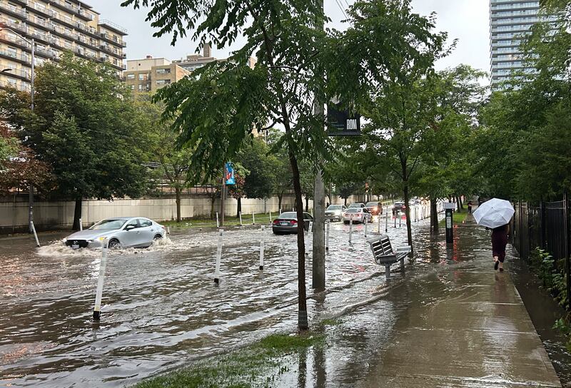
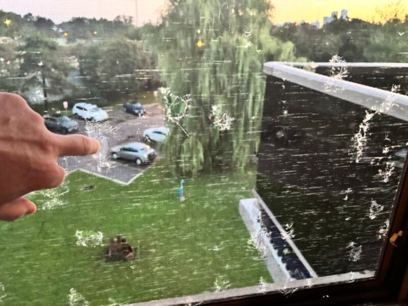
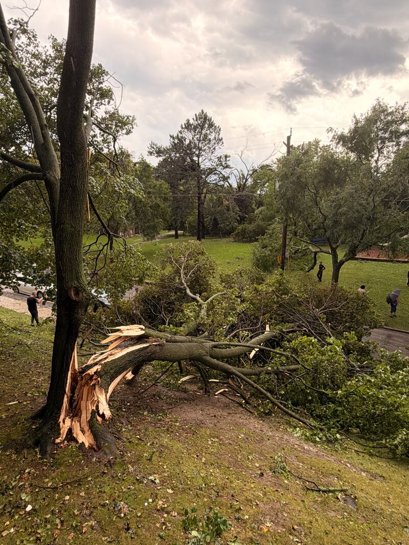
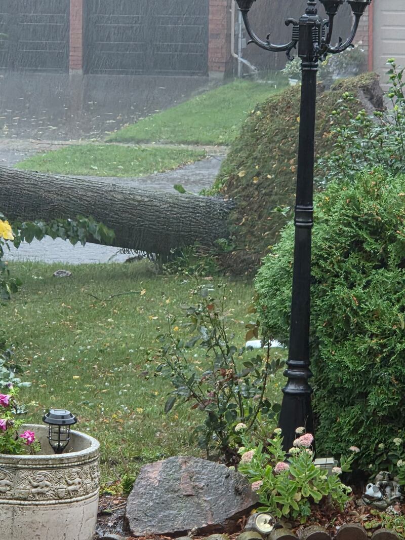
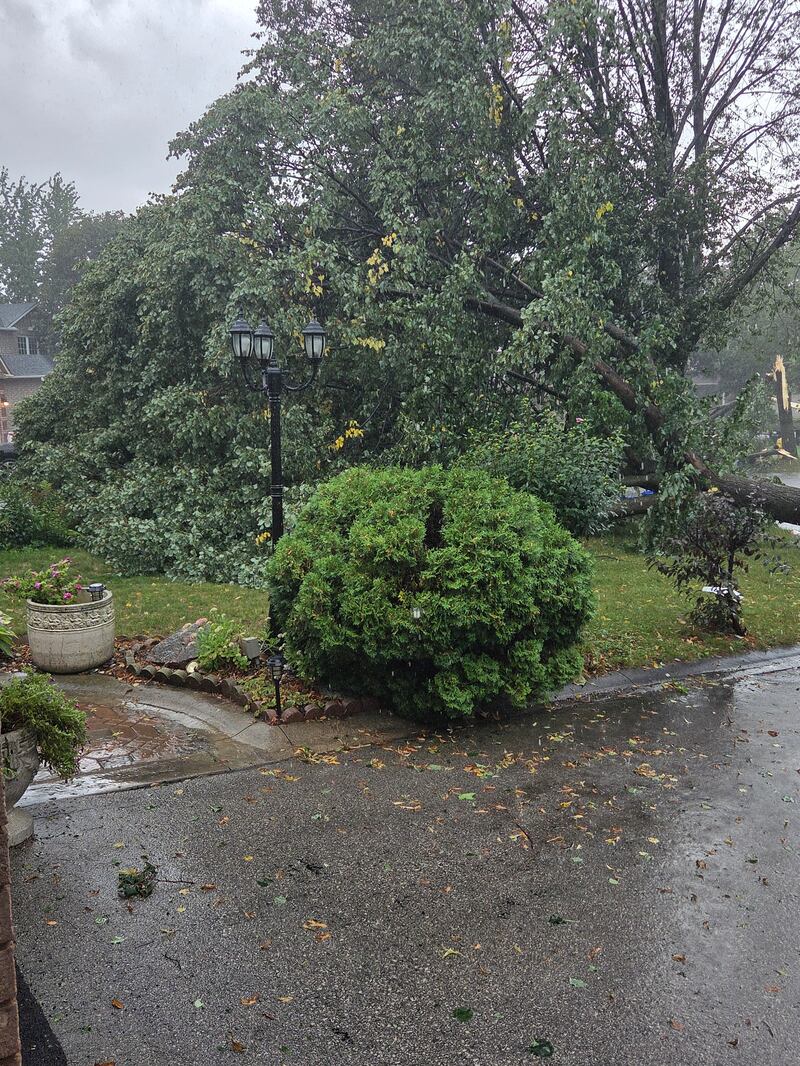
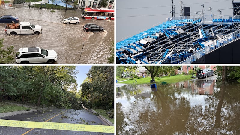
The violent storm, which brought intense periods of heavy rain, destructive winds, and hail to Canada’s largest city, knocked out power and flooded major highways across Toronto, including the Don Valley Parkway.
0 of 130
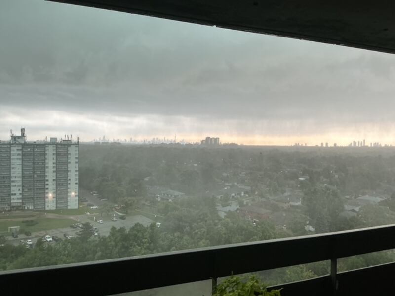
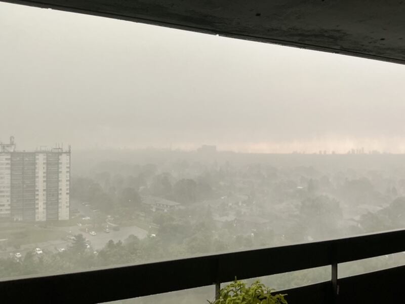
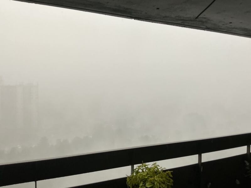
Rain took over southern Ontario by thunderstorm on Sept. 2, 2026.
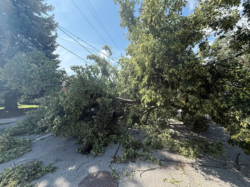
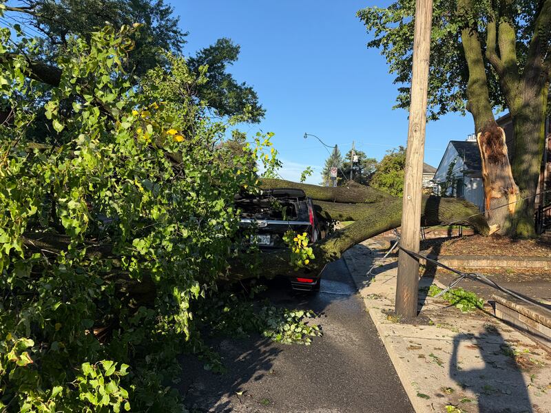
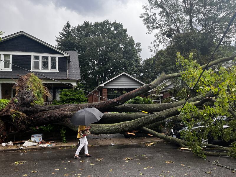
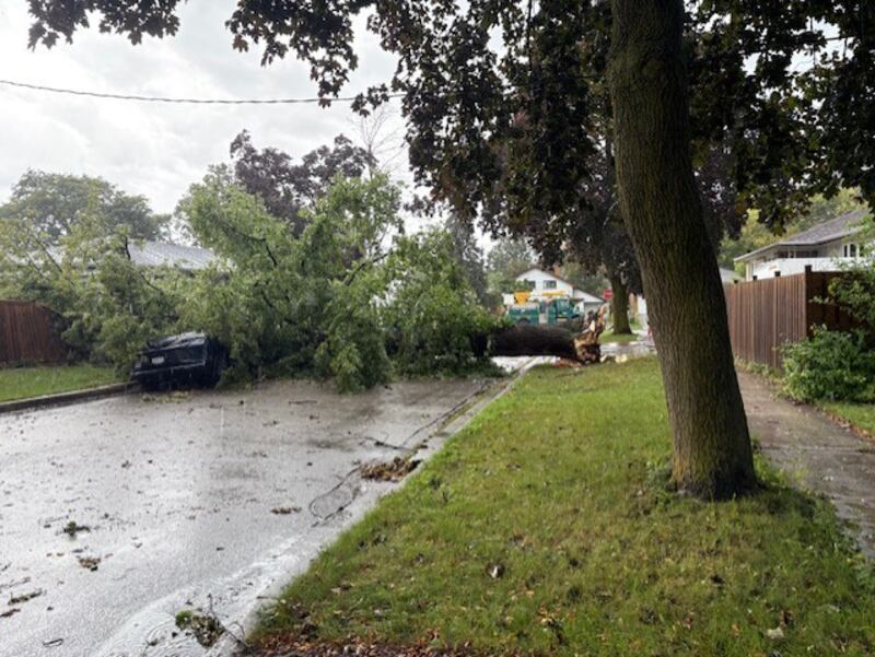
A downed tree is on top of a car on Glen Park Avenue in Toronto, Thursday, Sept. 3, 2026. (Beatrice Vaisman)
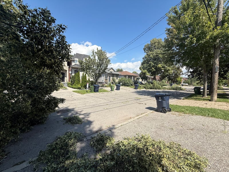
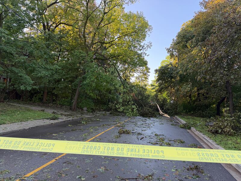
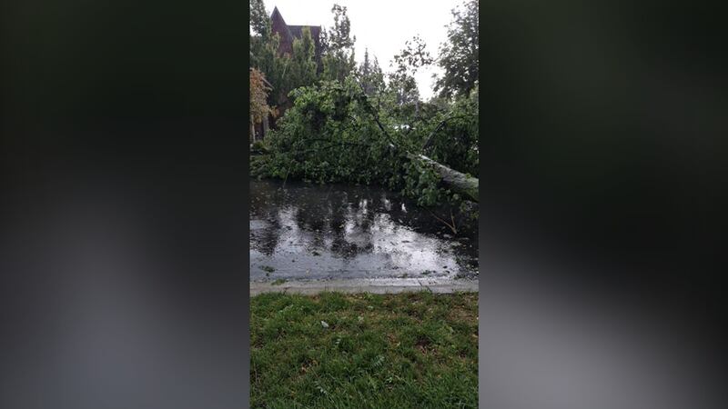
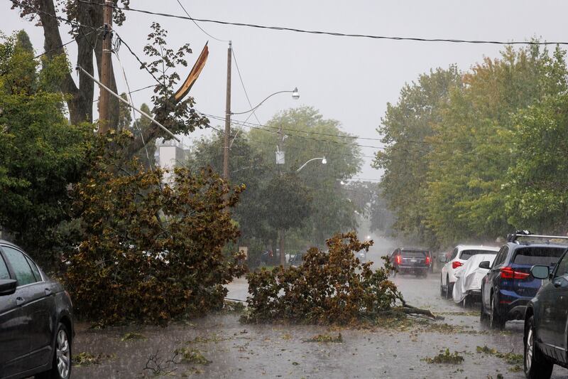
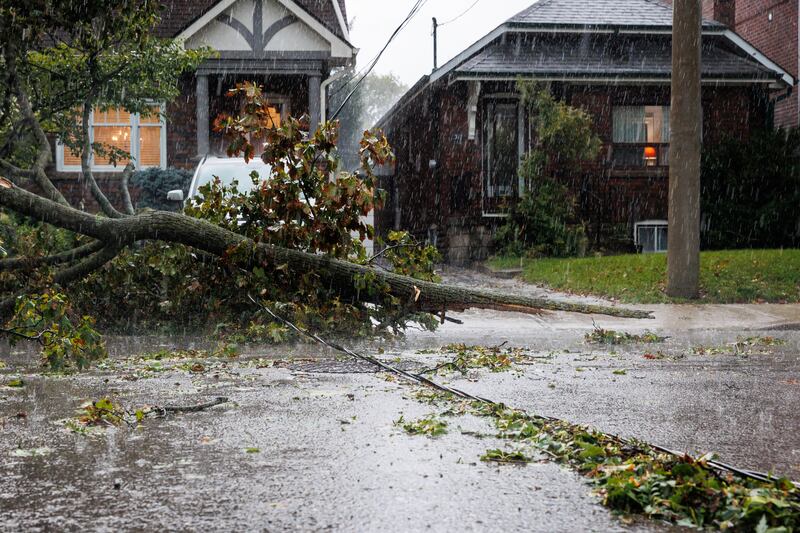
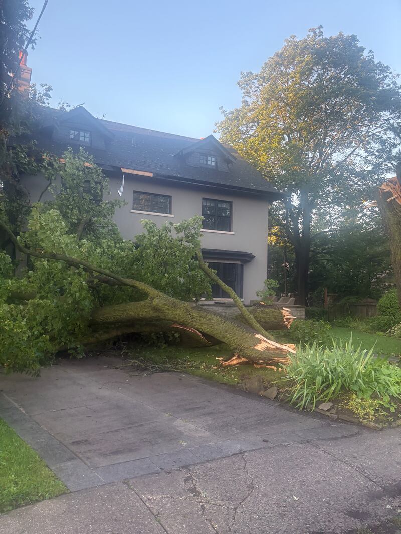
Downed trees are blocking a section of Glen Park Avenue in Toronto after a storm, Thursday, Sept. 3, 2026. (Beatrice Vaisman)
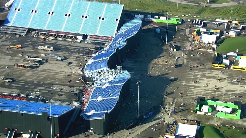
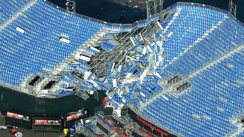
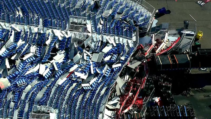
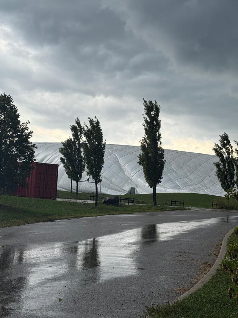
Shots from CP24 / CTV News chopper show Rogers Stadium damaged by Wednesday's storm.
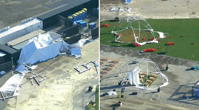
Structures in the grounds around Rogers Stadium are seen damaged from storms Wednesday evening in Toronto, on Thursday, Sept. 3, 2026. THE CANADIAN PRESS/Keito Newman
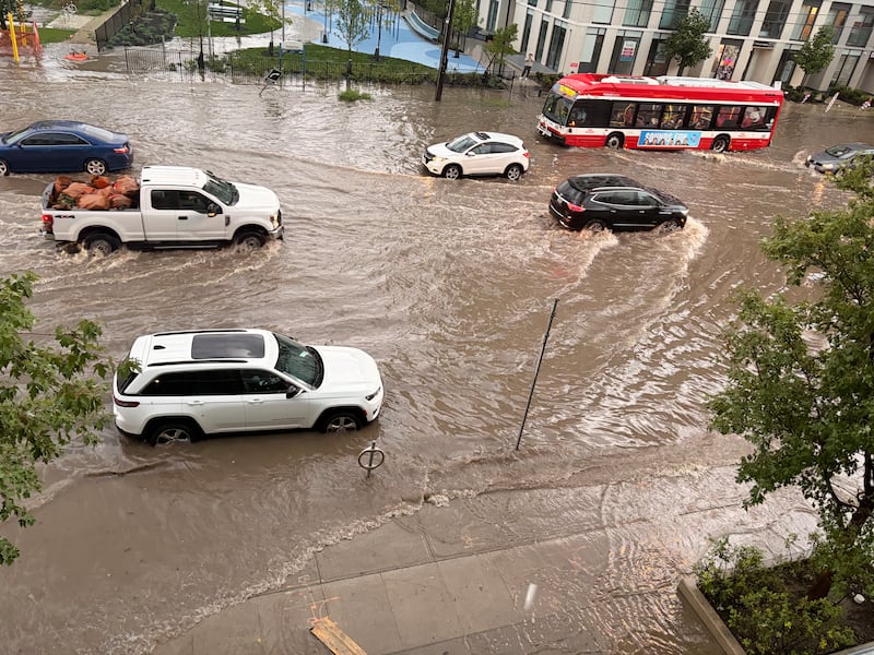
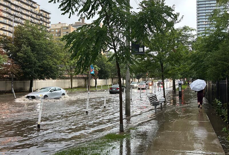
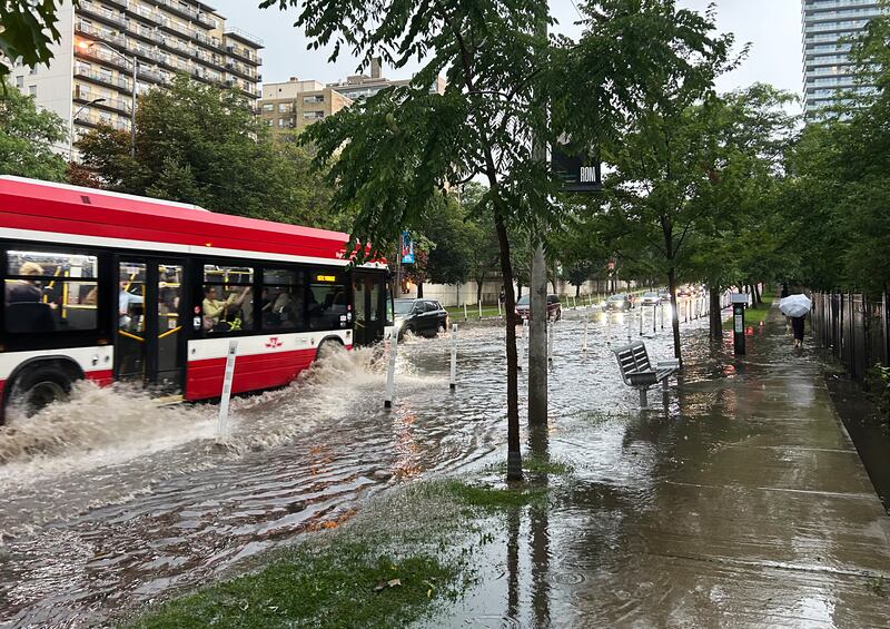
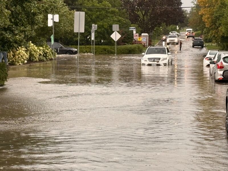
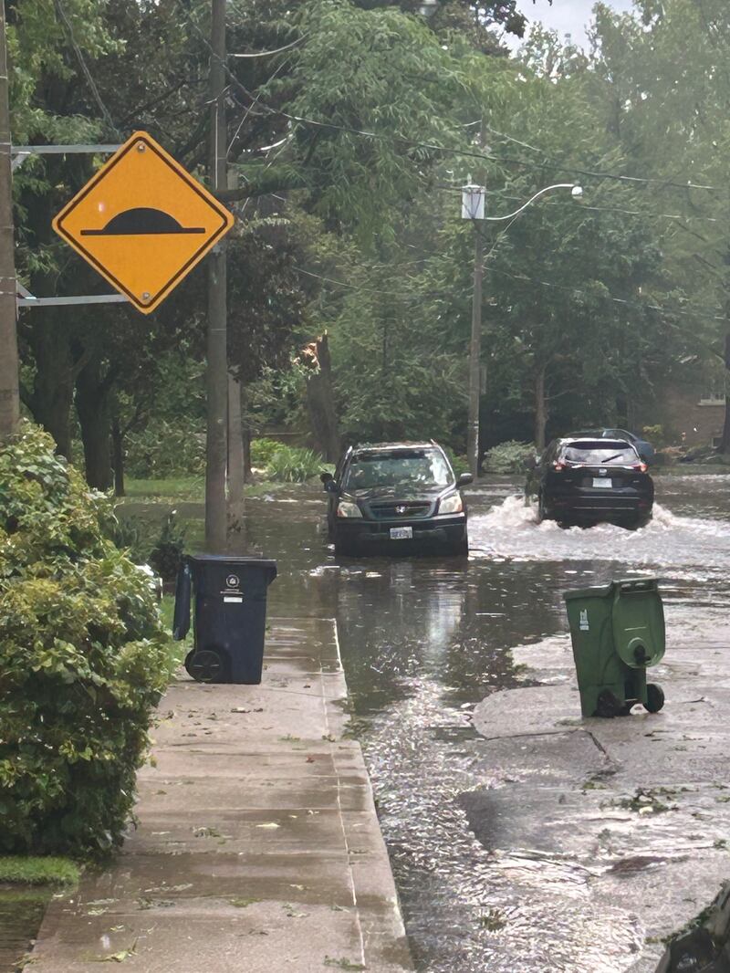
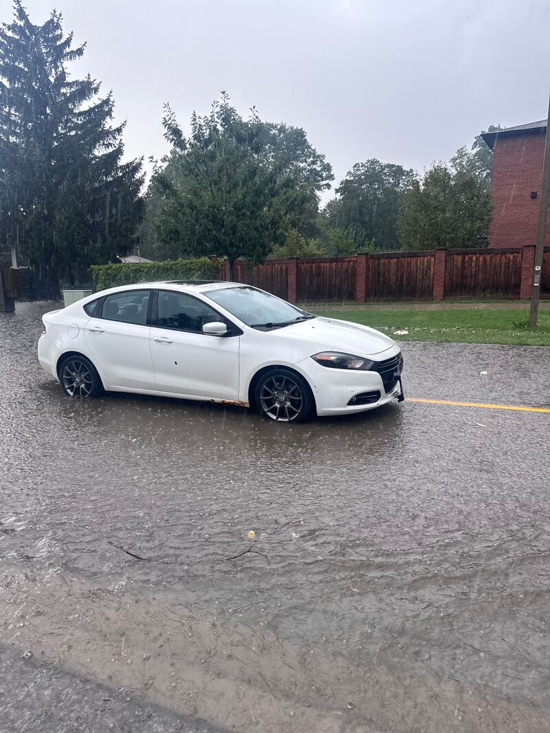
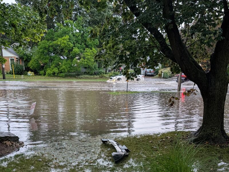
Vehicles drive through a flooded road in Toronto, Wednesday, Sept. 2, 2026. (Submitted)
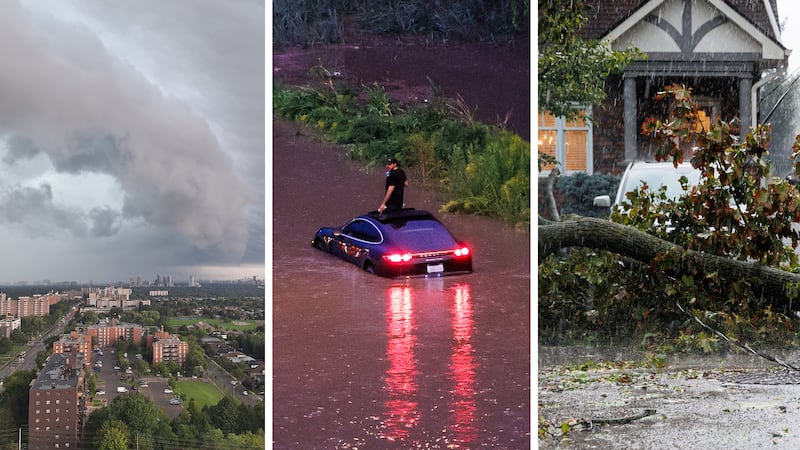
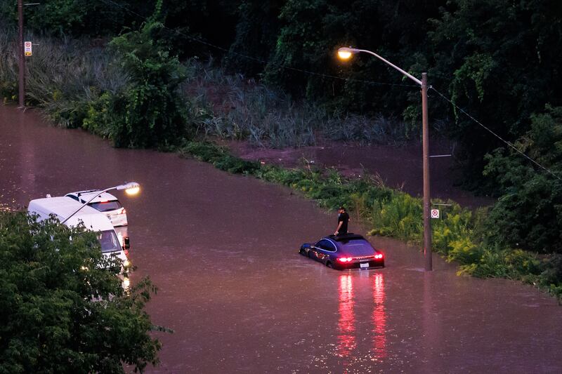
A motorist looks out their sunroof as their car sits stranded on the flooded Don Valley Parkway during a storm in Toronto on Wednesday, Sept. 2, 2026. THE CANADIAN PRESS/Keito Newman
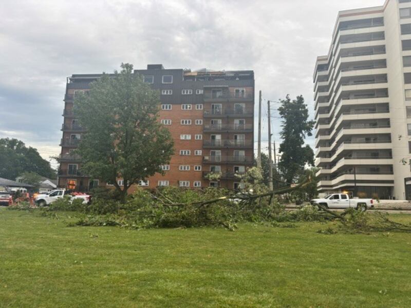
Downed trees after a major storm in Toronto, Thursday, Sept. 3, 2026. (CTV News)
Downed trees after a major storm in Toronto, Thursday, Sept. 3, 2026. (CTV News)
Downed trees after a major storm in Toronto, Thursday, Sept. 3, 2026. (CTV News)
A flooded Durham Regional Transit bus in Ajax, Ont., Wednesday, Sept. 2, 2026. (BebeMoko / TikTok)
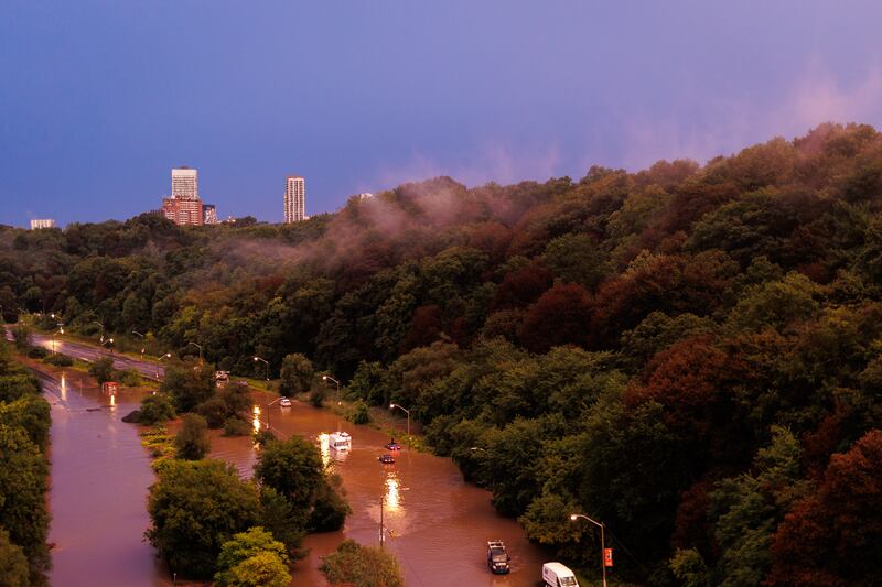
The Don Valley Parkway closed after a storm caused widespread flooding in Toronto, Thursday, Sept. 3, 2026.
A submerged vehicle is seen on Don Valley Parkway after Don River overflowed following heavy rainfall and storm in Toronto on Sept. 2, 2026. (Mert Alper Dervis/Anadolu via Getty Images)
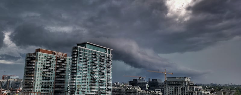
Storm clouds rolling over Liberty Village in Toronto, Wednesday, Sept. 2, 2026. (Dax Methot)
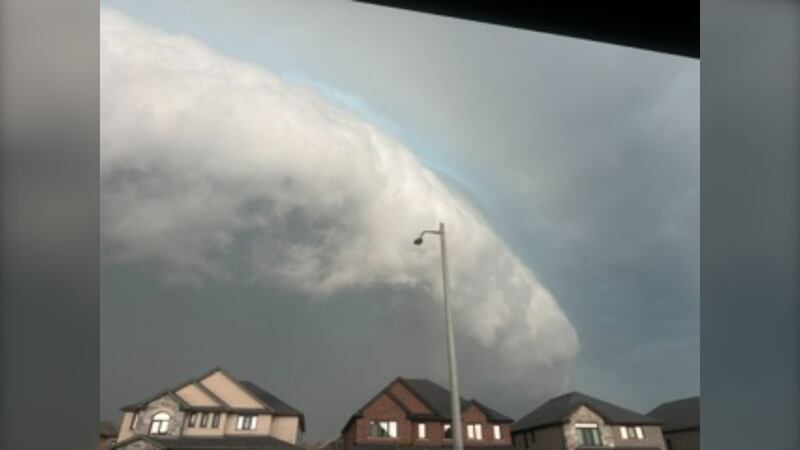
Ominous clouds amid a major storm in Toronto, Wednesday, Sept. 2, 2026. (Submitted)
Ominous clouds amid a major storm in Toronto, Wednesday, Sept. 2, 2026. (Submitted)
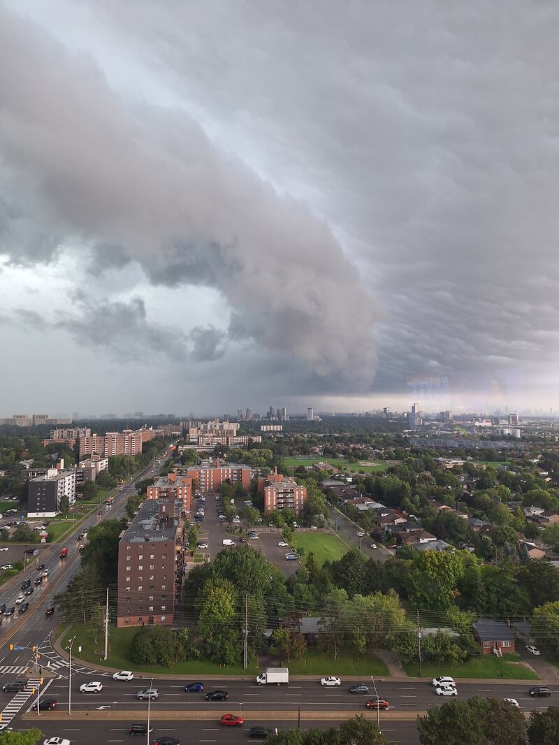
Giant ominous cloud captured east over the Don River in Toronto, Wednesday, Sept. 2, 2026. (Ms. Bennette)
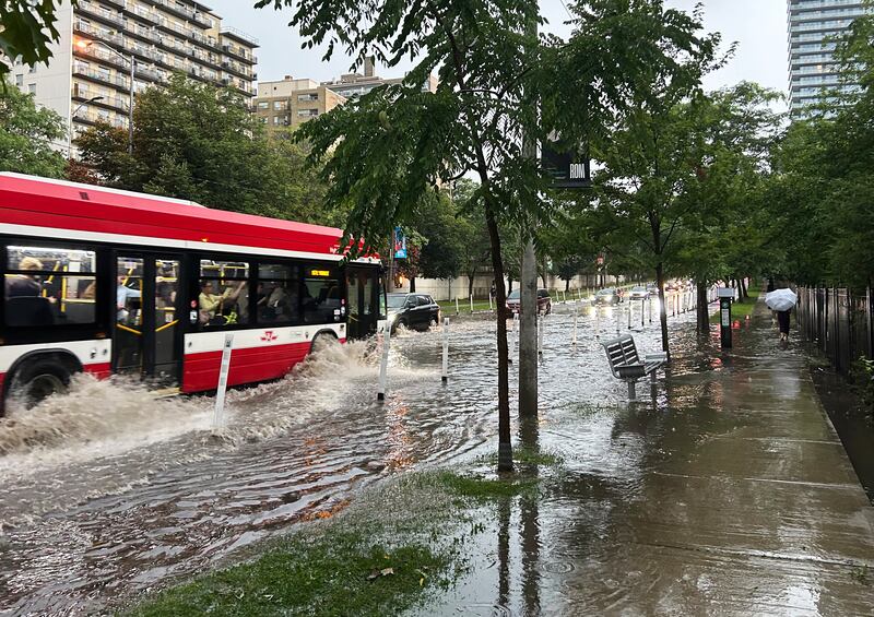
Vehicles drive through flood water along Yonge St. in midtown Toronto during a storm on Wednesday, Sept. 2, 2026. THE CANADIAN PRESS/John Chidley-Hill
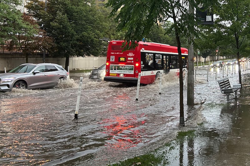
A transit bus and other vehicles drive through flood water along Yonge St. in midtown Toronto during a storm on Wednesday, Sept. 2, 2026. THE CANADIAN PRESS/John Chidley-Hill
View of the sunset after the storm, Wednesday, Sept. 2, 2026. (Hemant Kumar)
A motorist looks out their sunroof as their car sits stranded on the flooded Don Valley Parkway during a storm in Toronto on Wednesday, Sept. 2, 2026. THE CANADIAN PRESS/Keito Newman
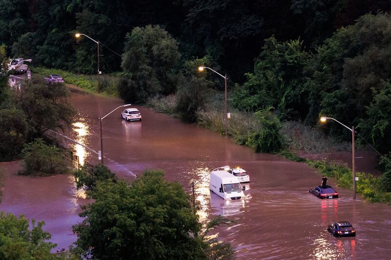
Cars sit stranded on the flooded Don Valley Parkway during a storm in Toronto on Wednesday, Sept. 2, 2026. THE CANADIAN PRESS/Keito Newman
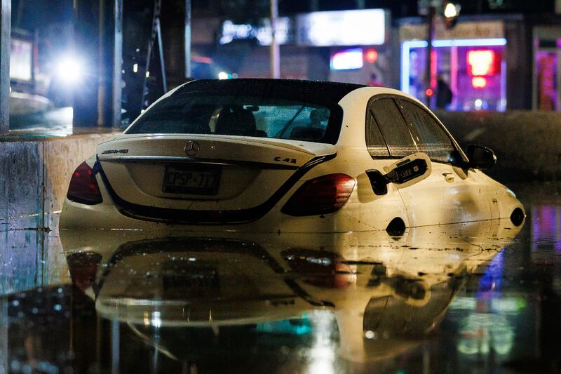
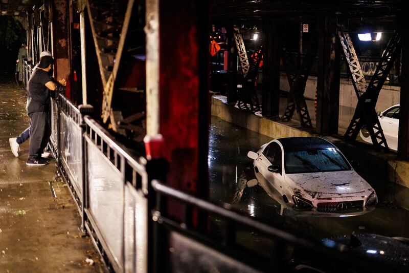
A car is seen submerged under an overpass after floods from a storm in Toronto on Wednesday, Sept. 2, 2026. THE CANADIAN PRESS/Keito Newman
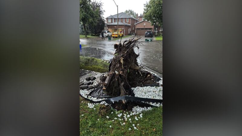
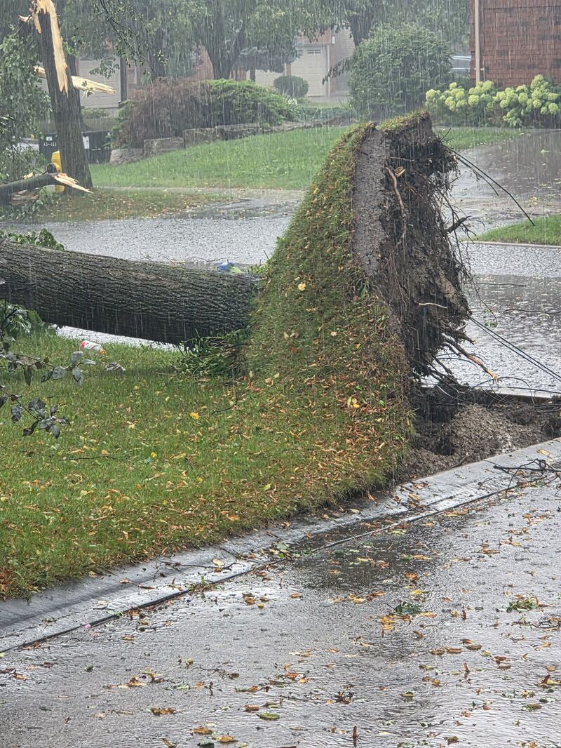
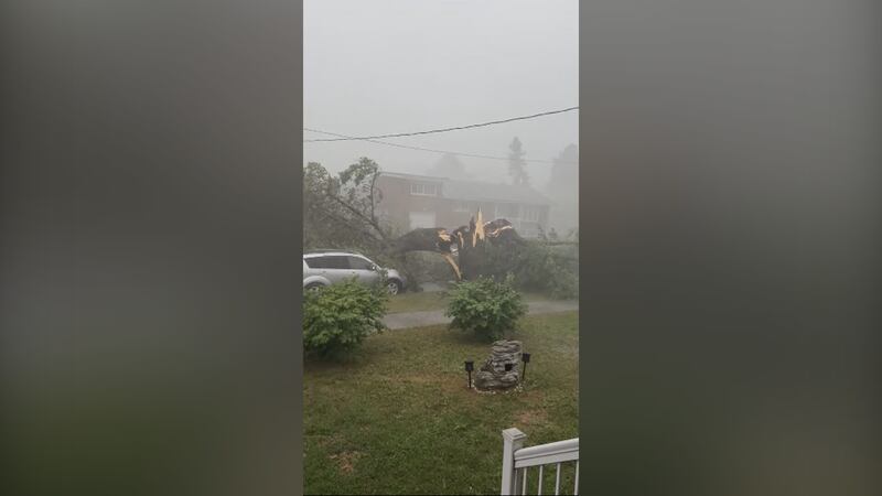
A tree is uprooted amid a major storm in Woodbridge, Ont., Wednesday, Sept. 2, 2026. (Adrian S)
A tree is uprooted amid a major storm in Woodbridge, Ont., Wednesday, Sept. 2, 2026. (Adrian S)
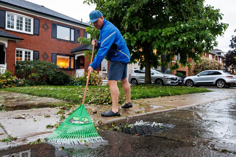
Mike Doyle clears a drain of debris after his street flooded up to his front step during a storm in Toronto, on Wednesday, Sept. 2, 2026. THE CANADIAN PRESS/Keito Newman
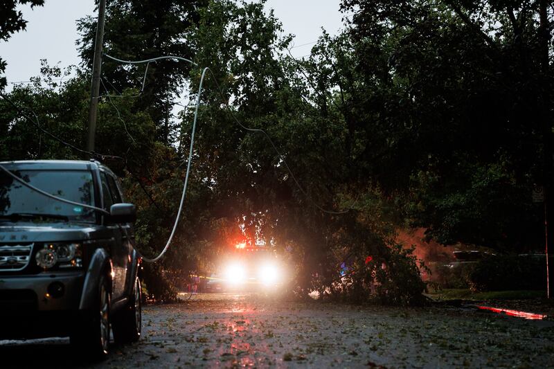
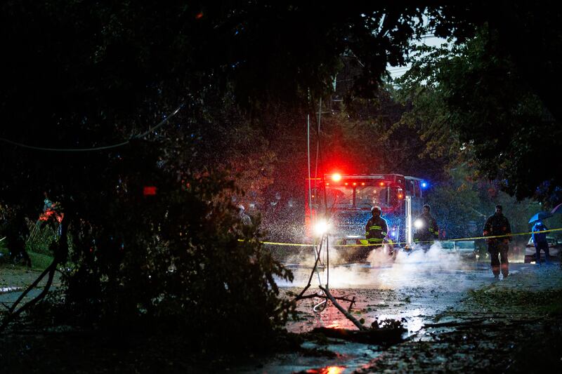
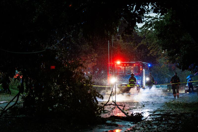
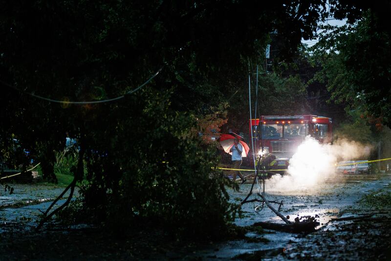
Toronto Fire Services work the scene where a tree downed a power line, starting a fire during a storm in Toronto, on Wednesday, Sept. 2, 2026. THE CANADIAN PRESS/Keito Newman
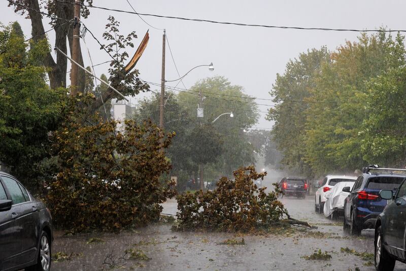
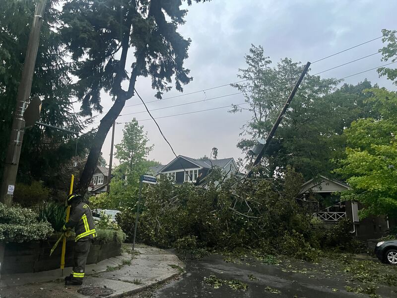
A downed tree and power line is seen in Toronto during a storm on Wednesday, Sept. 2, 2026. THE CANADIAN PRESS/Keito Newman
People prepare to tow a car out from a flooded underpass during a storm in Toronto on Wednesday, Sept. 2, 2026. THE CANADIAN PRESS/Keito Newman
People look at cars stranded in flood waters under an overpass during a storm in Toronto on Wednesday, Sept. 2, 2026. THE CANADIAN PRESS/Keito Newman
A downed tree and power line is seen in Toronto during a storm on Wednesday, Sept. 2, 2026. THE CANADIAN PRESS/Keito Newman
Cars sit stranded on the flooded Don Valley Parkway during a storm in Toronto on Wednesday, Sept. 2, 2026. THE CANADIAN PRESS/Keito Newman
Toronto Fire Services work the scene where a tree downed a power line, starting a fire during a storm in Toronto, on Wednesday, Sept. 2, 2026. THE CANADIAN PRESS/Keito Newman
Vehicles drive through flood water along Yonge St. in midtown Toronto during a storm on Wednesday, Sept. 2, 2026. THE CANADIAN PRESS/John Chidley-Hill
A transit bus drives through flood water along Yonge St. in midtown Toronto during a storm on Wednesday, Sept. 2, 2026. THE CANADIAN PRESS/John Chidley-Hill
A downed tree and power line is seen in Toronto during a storm on Wednesday, Sept. 2, 2026. THE CANADIAN PRESS/Keito Newman
Toronto Fire Services work the scene where a tree downed a power line, starting a fire during a storm in Toronto, on Wednesday, Sept. 2, 2026. THE CANADIAN PRESS/Keito Newman
Flooding at Jane. St. and Highway 7, Wednesday, Sept. 2, 2026. (Priya Devani)
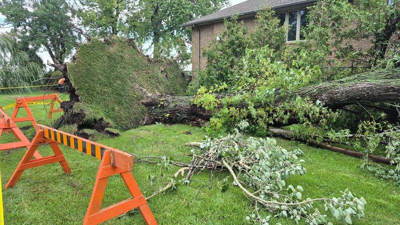
A large tree was uprooted in the area of Woodbine Avenue and Gerrard Street East following a thunderstorm on Wednesday, Sept. 2, 2026. (Kenneth Enlow)
A large that knocked over results in several downed power lines the area of Woodbine Avenue and Gerrard Street East following a thunderstorm on Wednesday, Sept. 2, 2026.(Kenneth Enlow.)
Toronto Fire Services work the scene where a tree downed a power line, starting a fire during a storm in Toronto, on Wednesday, Sept. 2, 2026. THE CANADIAN PRESS/Keito Newman
A transit bus drives through flood water along Yonge St. in midtown Toronto during a storm on Wednesday, Sept. 2, 2026. THE CANADIAN PRESS/John Chidley-Hill
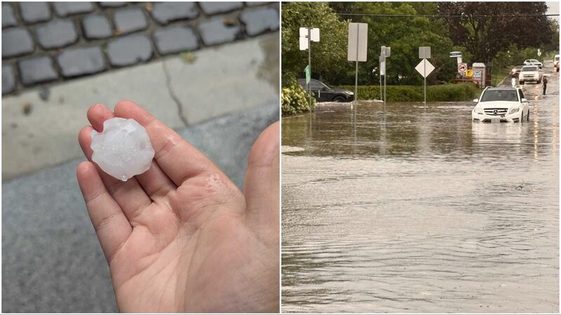
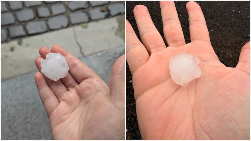
Environment Canada forecasts up to ping pong-sized hail and 50 millimetres of rain in Toronto on Wednesday. Here's what the storm looked like when a red alert swept Toronto. (Mary Nersessian/Michael Campoli)
Hail from a severe storm in Toronto and surrounding area, Wednesday, Sept. 2, 2026. (Sharlene Browne)
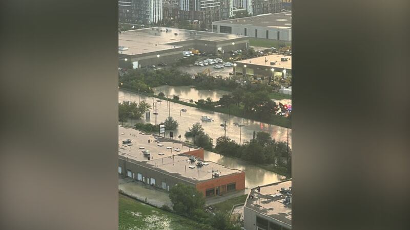
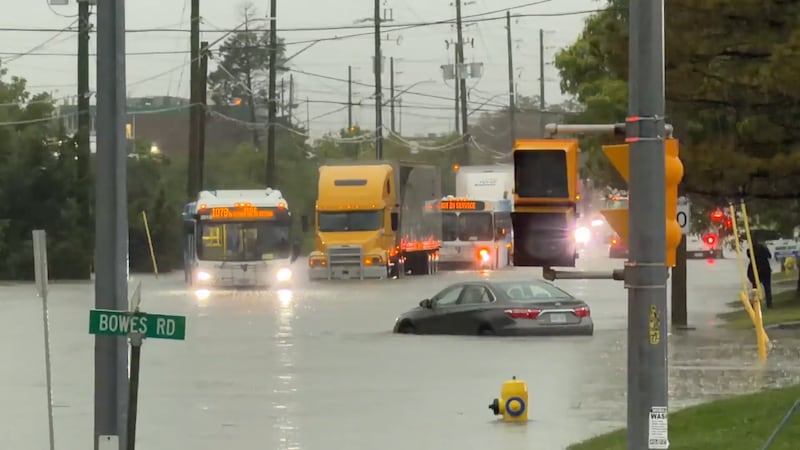
An industrial neighbourhood in Vaughan turned into a river as heavy rains flooded the roads, submerging cars, trucks, and transit buses.
Hail about the size of a ping-pong ball has been spotted throughout the Greater Toronto Area on Wednesday, Sept. 2, 2026. (Mary Nersessian/Michael Campoli)
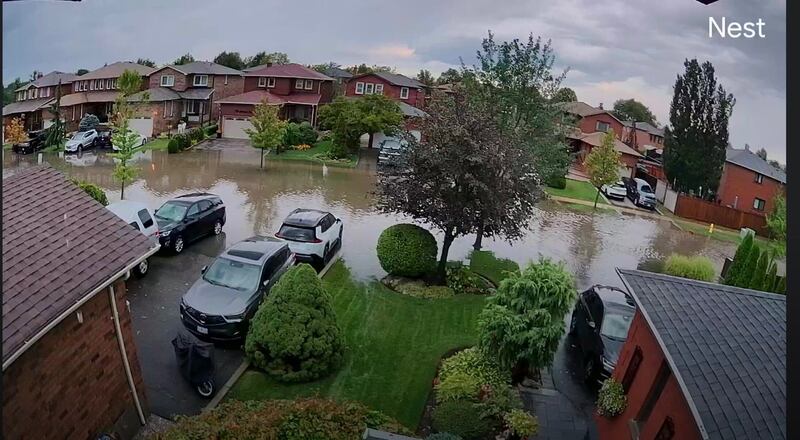
Major flooding covers a residential street in Woodbridge Ontario, seen from a Nest home camera, Wednesday, Sept. 2, 2026. (Michael Campoli)
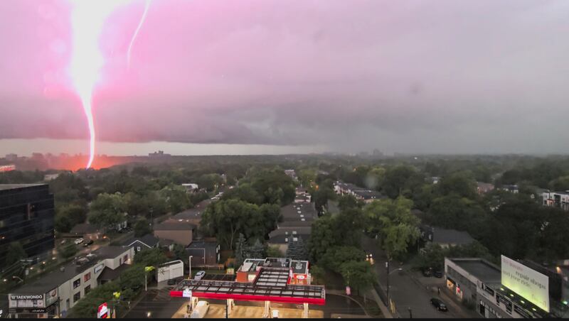
Lightning strikes as the thunderstorm rolls on from Yonge and Sheppard, Wednesday, Sept. 2, 2026. (James L.)
The roads in Lawrence and Dufferin can be seen flooded with water on Wednesday, Sept. 2, 2026. (Michael Campoli)
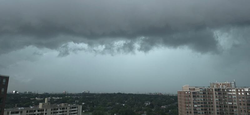
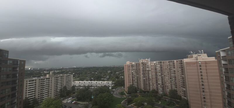
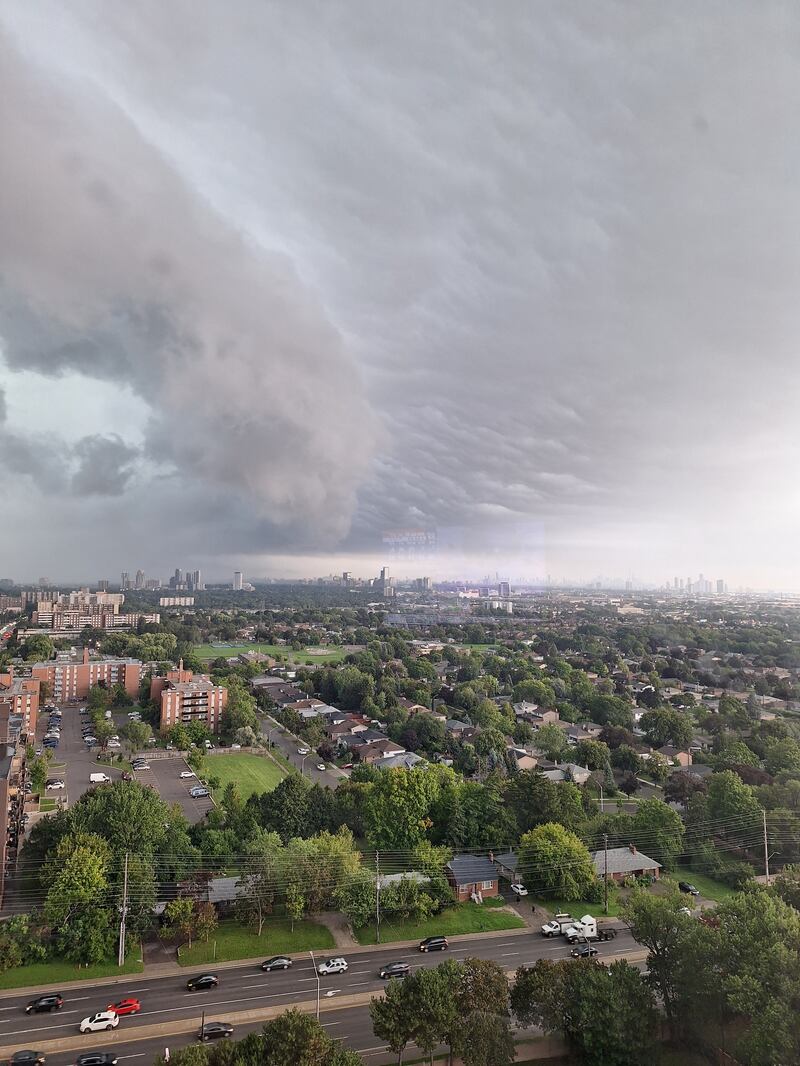
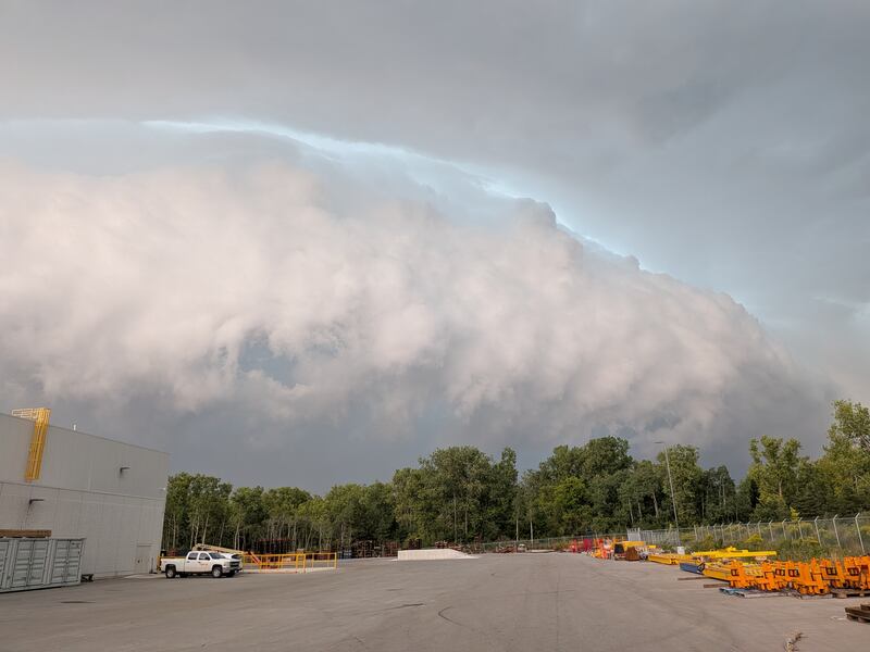
Thick, dark clouds can be seen sweeping throughout the city on Wednesday, Sept. 2, 2026. (Kelly & Ken Hayashi)
Thick, dark clouds can be seen sweeping throughout the city. (Kelly & Ken Hayashi)
Vehicles appear stuck in the Lower Simcoe Street underpass near Bay and Lower Simcoe Streets on the evening of Sept. 2, 2026.
Police can be seen here escorting drivers who's vehicles were submerged in Toronto's west end, Wednesday, Sept. 2, 2026.
Drivers and passengers can be seen getting our of their vehicles in knee-high water in the Lower Simcoe Street underpass on Wednesday, Sept. 2, 2026.
Damage from hail, Wednesday, Sept. 2, 2026. (Don Semple)
Damage from hail, Wednesday, Sept. 2, 2026. (Don Semple)
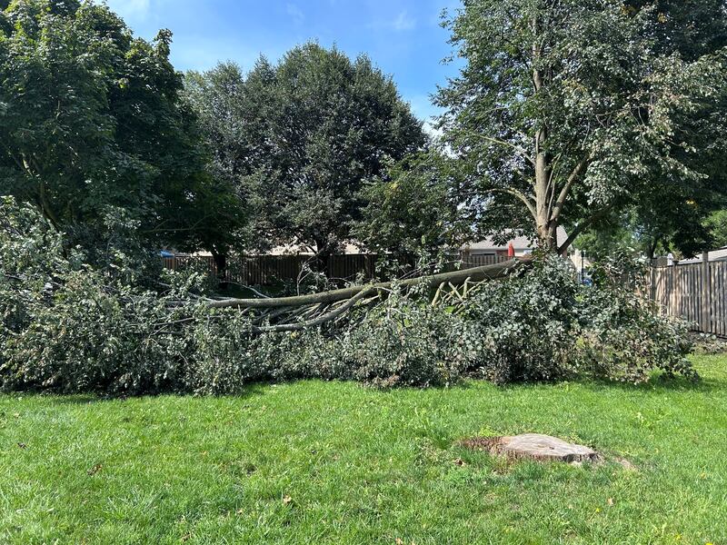
Downed tree on Seeley Dr. in North York, Toronto, Wednesday, Sept. 2, 2026. (Tori Millington)
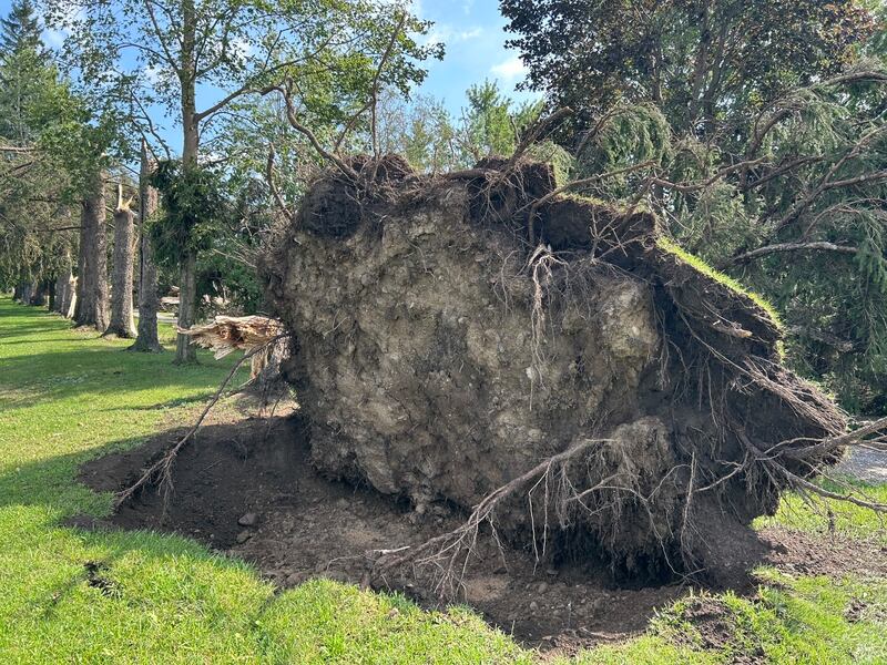
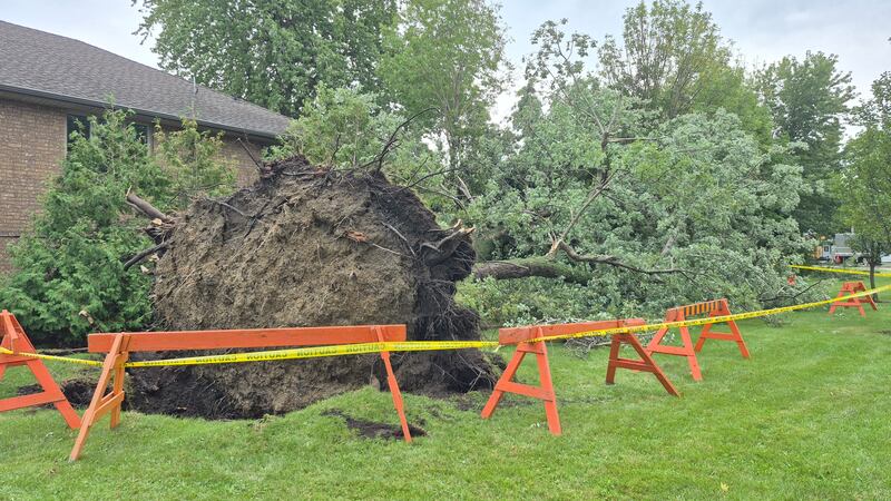
A tree is seen uprooted here in Vaughan on Wednesday, Sept. 2, 2026. (Tony Tersigni)
A tree is seen uprooted here in Vaughan on Wednesday, Sept. 2, 2026. (Tony Tersigni)
A tree is seen uprooted here in Vaughan on Wednesday, Sept. 2, 2026. (Tony Tersigni)
'This was my father in laws front yard massive tree torn up straight from the root.' in Ontario. (Eduardo /CP24.com)
A tree is seen uprooted here in Vaughan on Wednesday, Sept. 2, 2026. (Tony Tersigni)
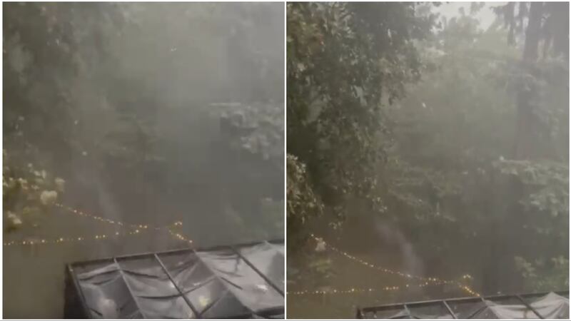
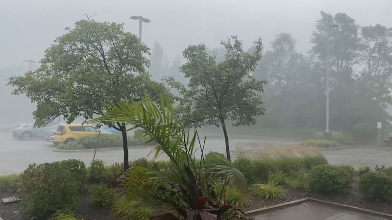
Heavy rain is seen pelting down through the trees in Toronto on Wednesday, Sept. 2, 2026. (Sachi Kittur)
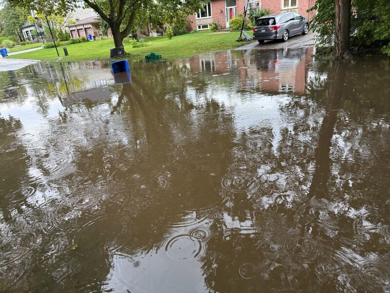
A flooded street in Sharon, Ont., Wednesday, Sept. 2, 2026. (John)
Storm scenes near Pine Valley Dr., Wednesday, Sept. 2, 2026. (Casey A.)
Storm rolls in over Etobicoke, Wednesday, Sept. 2, 2026. (Daniel Magee)
Storm rolls in over Etobicoke, Wednesday, Sept. 2, 2026. (Daniel Magee)
Storm rolls in over Etobicoke, Wednesday, Sept. 2, 2026. (Daniel Magee)
Storm rolls in over Etobicoke, Wednesday, Sept. 2, 2026. (Daniel Magee)
Vehicles drive through a flooded road on Wilson Ave. in Toronto, Wednesday, Sept. 2, 2026. (Renee Ribeiro)
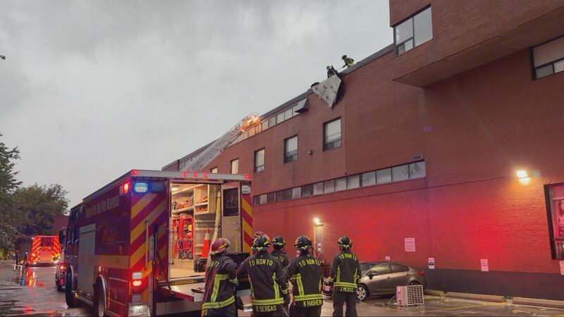
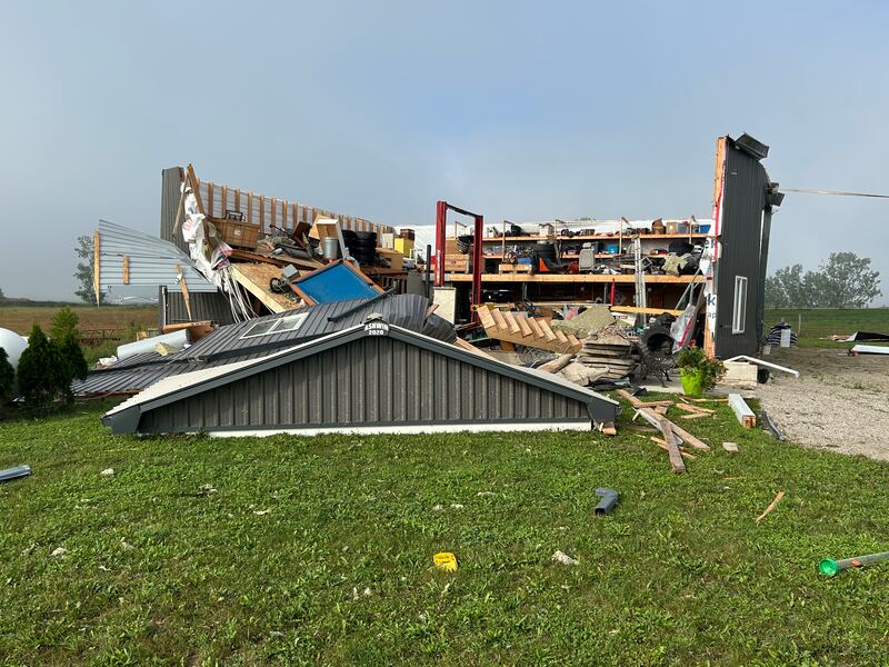
Toronto Fire crews are on the scene of a roof collapse on Lawrence Ave. West, near Caledonia Rd., Wednesday, Sept. 2, 2026. (CTV News)
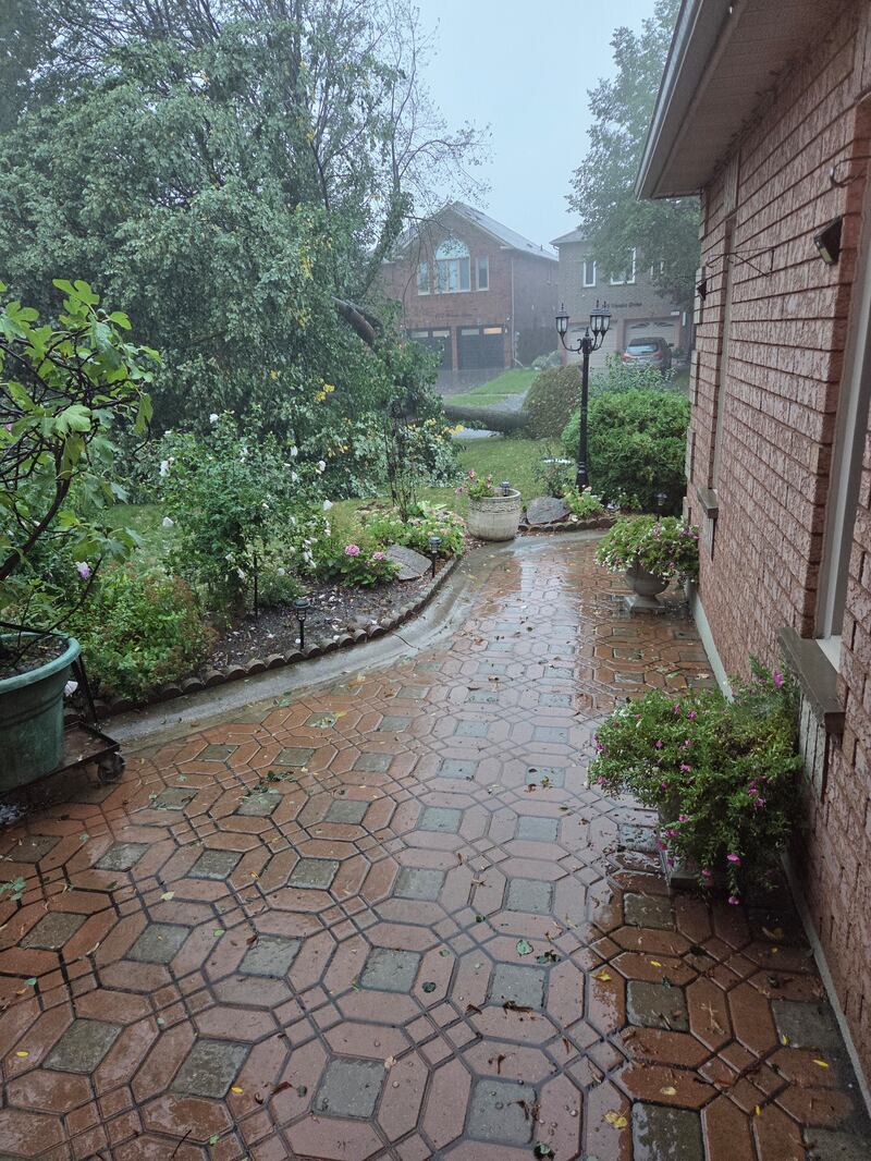
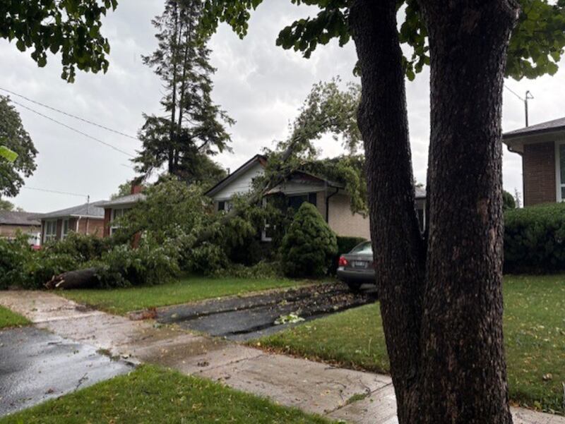
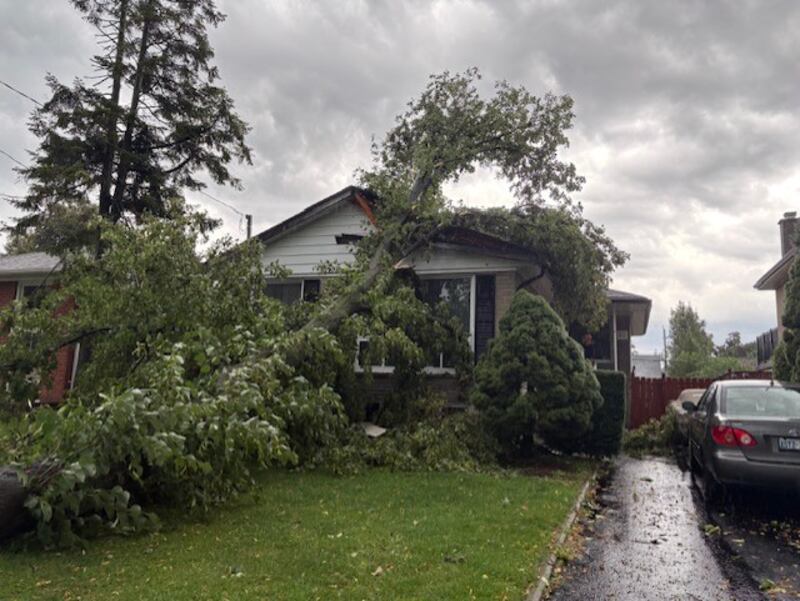
A tree appears to be downed on the roof of a home in Ludgate Drive and Watercliff Road in Etobicoke on Wednesday, Sept. 2, 2026. (Deborah Jacobs)
A large tree fell onto the road near Ludgate Drive and Watercliff Road on Wednesday, Sept. 2, 2026. (Deborah Jacobs)
A tree appears to be downed on the roof of a home in Ludgate Drive and Watercliff Road in Etobicoke on Wednesday, Sept. 2, 2026. (Deborah Jacobs)
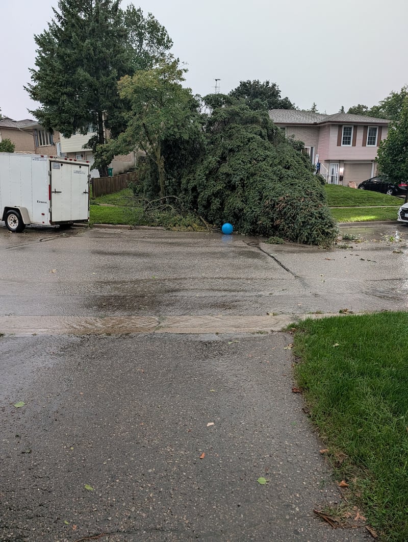
Down trees in Lawrence park, Toronto, Wednesday, Sept. 2, 2026. (Lynda Ryan)
Down trees in Lawrence park, Toronto, Wednesday, Sept. 2, 2026. (Lynda Ryan)
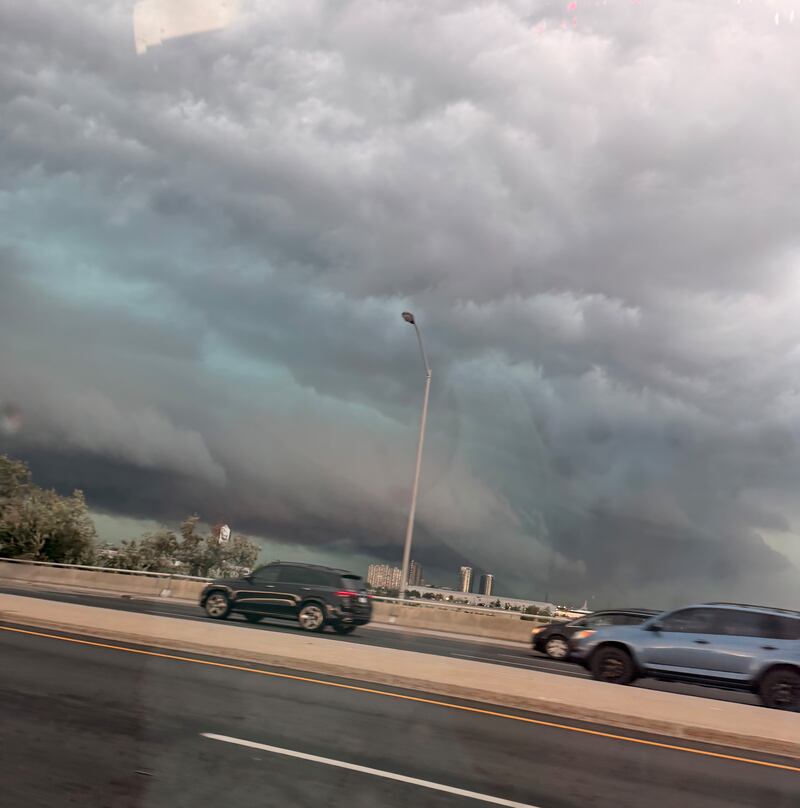
Storm clouds captured while driving near Highway 400 and Sheppard Ave. in Toronto, Wednesday, Sept. 2, 2026. (Tori Millington)
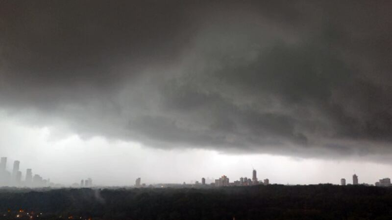
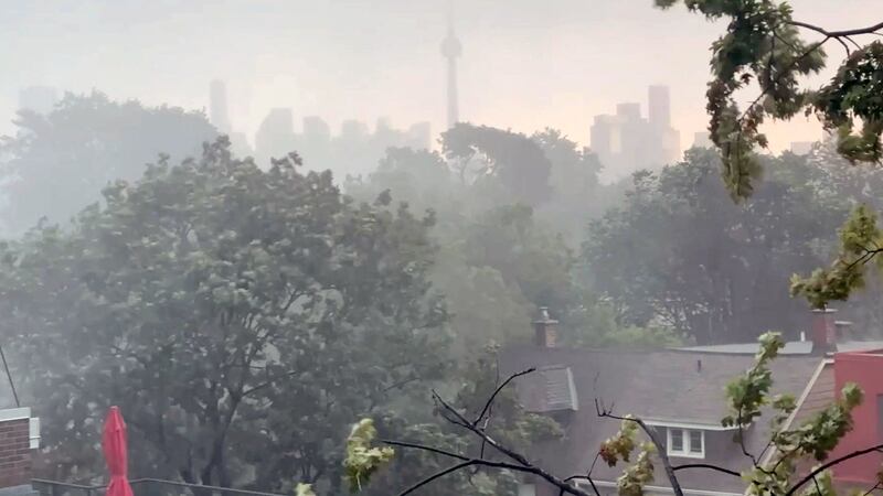
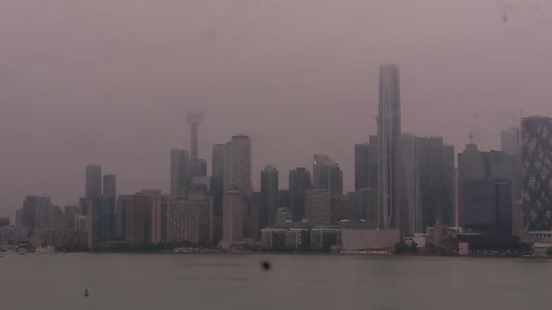
High winds whip trees around and block out Toronto skyline during major thunderstorm, Sept. 2, 2026.
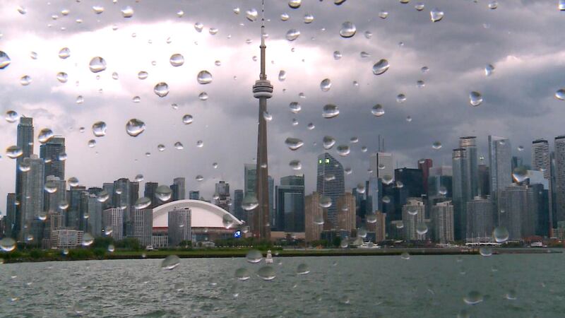
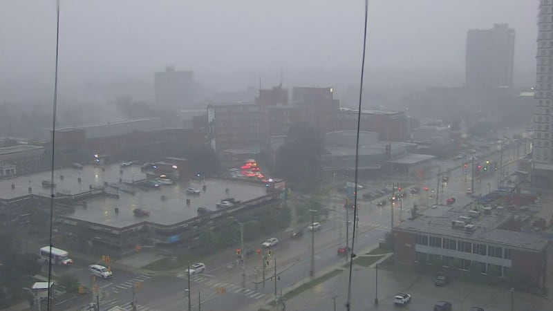
View of downtown Toronto skyline as storm rolls through the city, Wednesday, Sept. 2, 2026.
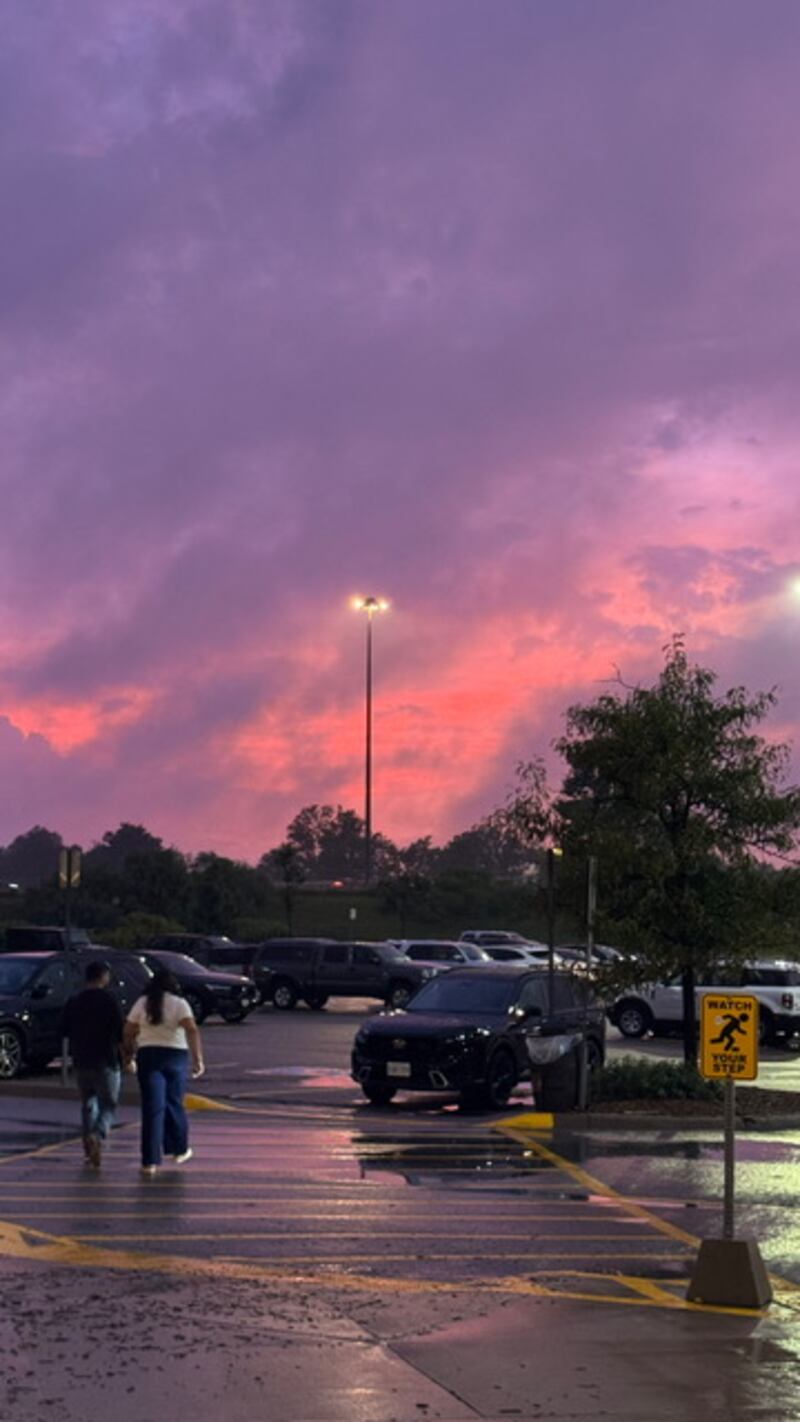
After the storm from Bass Pro at Vaughan Mills, Wednesday, Sept. 2, 2026. (Diana)
Wednesday, Sept. 2, 2026.
View of the downtown Toronto skyline as a storm rolls through the city, Wednesday, Sept. 2, 2026.
Storm scenes near Pine Valley Dr., Wednesday, Sept. 2, 2026. (Casey A.)
Storm scenes near Pine Valley Dr., Wednesday, Sept. 2, 2026. (Casey A.)
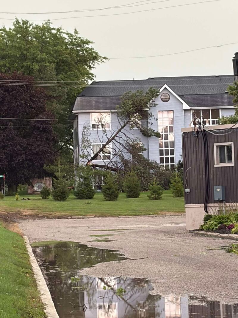
Storm damage in London, Ont., Wednesday, Sept. 2, 2026.
Storm damage in London, Ont., Wednesday, Sept. 2, 2026.
Storm damage in London, Ont., Wednesday, Sept. 2, 2026.
Storm damage in London, Ont., Wednesday, Sept. 2, 2026.
Storm damage in London, Ont., Wednesday, Sept. 2, 2026.
Storm damage in London, Ont., Wednesday, Sept. 2, 2026.
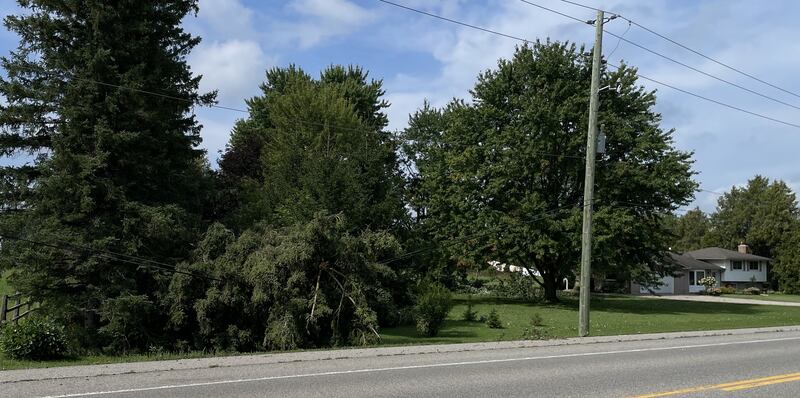
A downed tree was photographed along Spring Hill Place in Kitchener, Ont. after a powerful storm on Sept. 2, 2026. (Dave Leitch)
Strong wind gusts in Kitchener's Deer Ridge neighbourhood on Sept. 2, 2026. (Alan Fraser/CTV News)
The Kitchener skyline was photographed on Sept. 2, 2026 as a red tornado warning swept through parts of southern Ontario. (CTV News Kitchener)
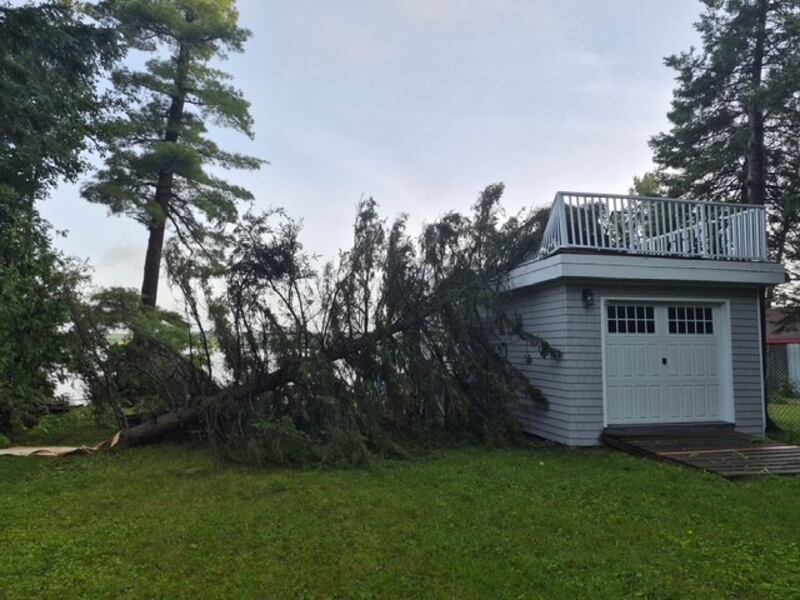
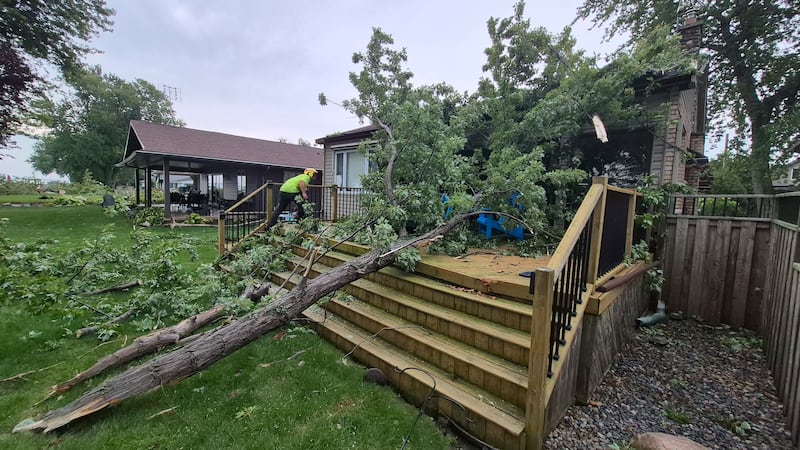
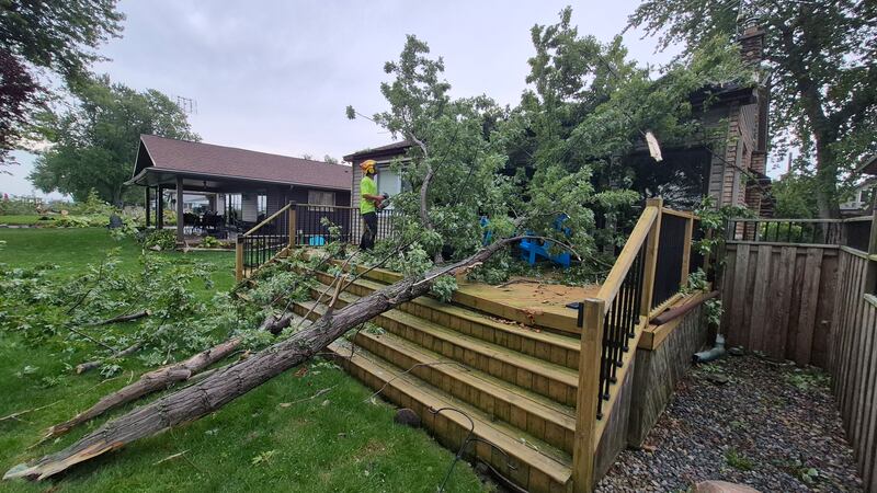
Extensive property damage is seen following Tuesday's storm on Orr Lake, Ont, Sept. 2, 2026. (Jennifer Hunter)
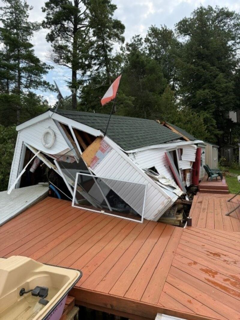
Extensive property damage is seen following Tuesday's storm on Orr Lake, Ont., Sept. 2, 2026. (Jennifer Hunter)
Extensive property damage is seen following Tuesday's storm on Orr Lake, Ont., Sept. 2, 2026. (Jennifer Hunter)
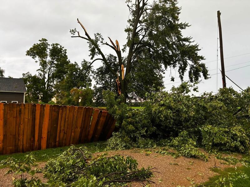
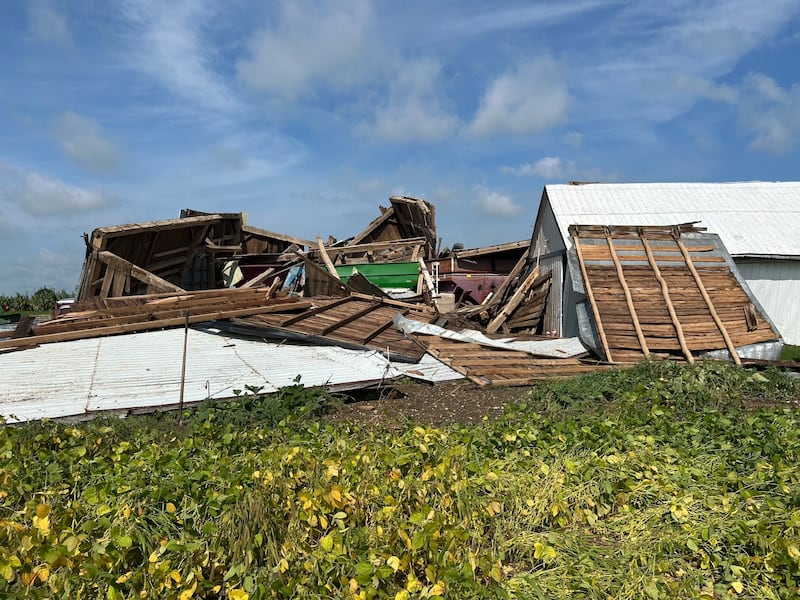
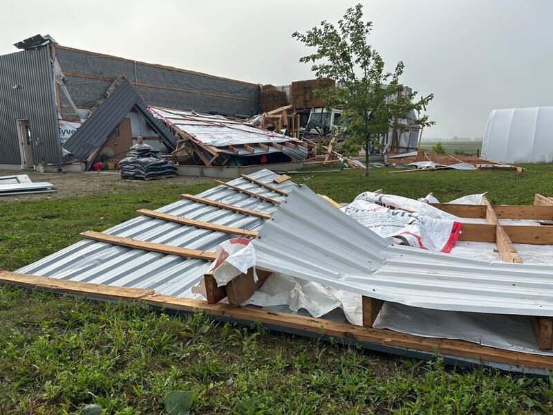
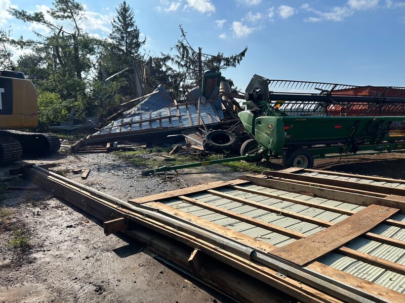
Storm damage seen near Winthrop, Ont. Sept. 3, 2026. (Scott Miller/CTV News London)
Storm damage seen near Winthrop, Ont. Sept. 3, 2026. (Scott Miller/CTV News London)
Storm damage seen near Winthrop, Ont. Sept. 3, 2026. (Scott Miller/CTV News London)
Storm damage seen near Winthrop, Ont. Sept. 3, 2026. (Scott Miller/CTV News London)
Storm damage seen near Winthrop, Ont. Sept. 3, 2026. (Scott Miller/CTV News London)
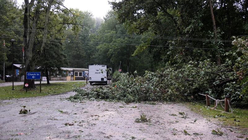
A downed tree on Hale Street next to the Stoney Point Sportsmen's Club in Stoney Point, Ont., Sept. 3, 2026. (Sanjay Maru/CTV News Windsor)
Storm damage seen near Winthrop, Ont. Sept. 3, 2026. (Scott Miller/CTV News London)
Storm damage seen near Winthrop, Ont. Sept. 3, 2026. (Scott Miller/CTV News London)
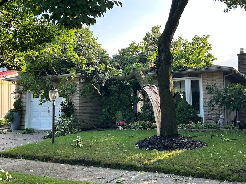
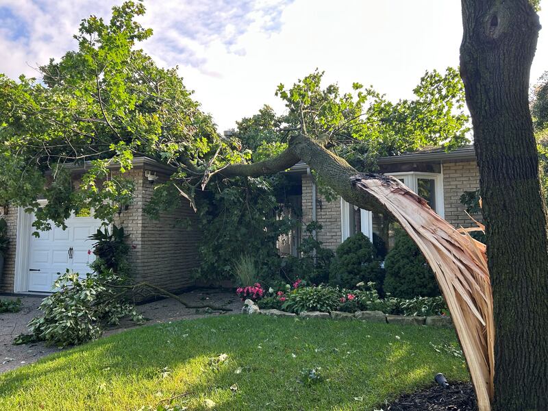
A tree split in two on Charnwood Court in Kitchener during a storm on Sept. 3, 2026. (Rowen Fisler/CTV News)
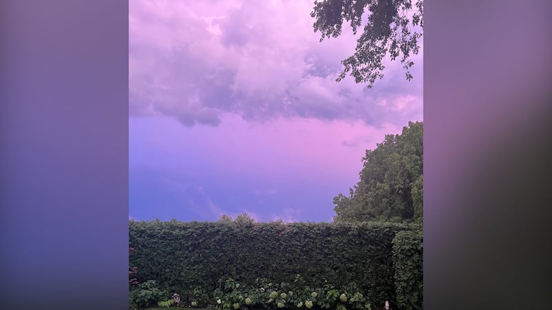
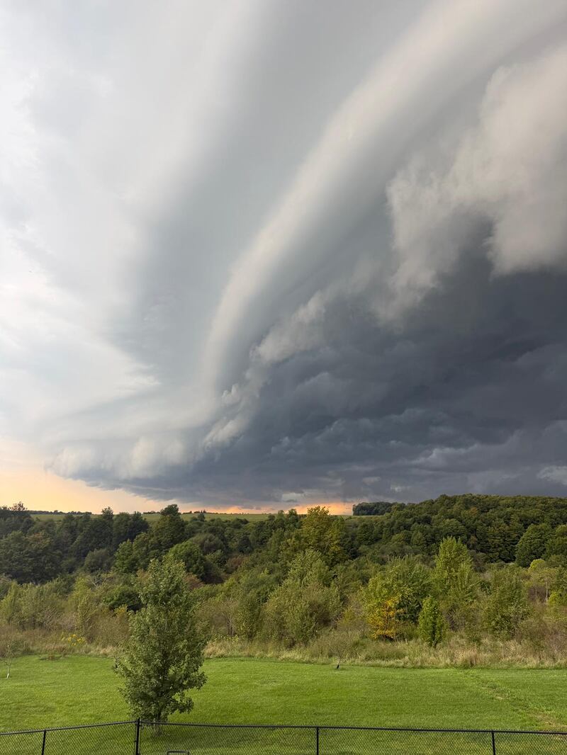
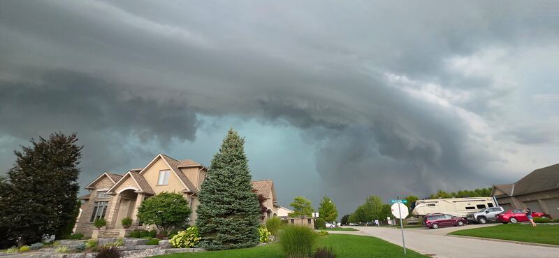
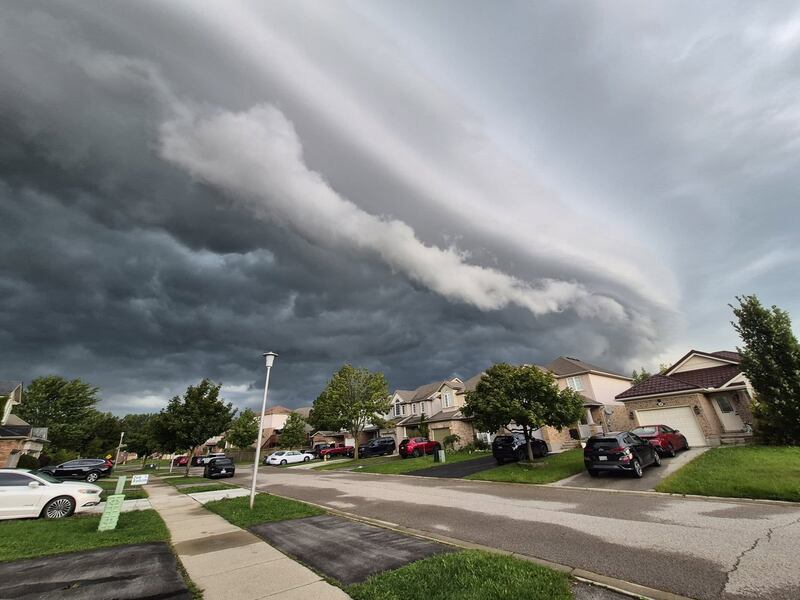
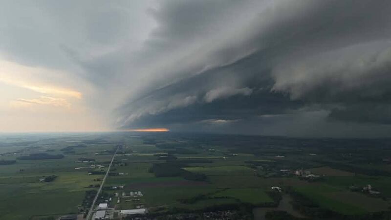
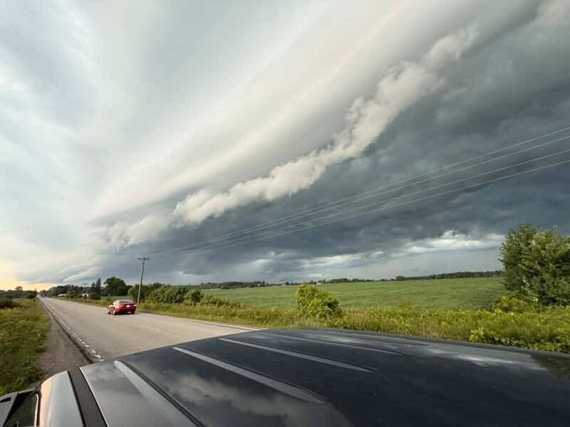
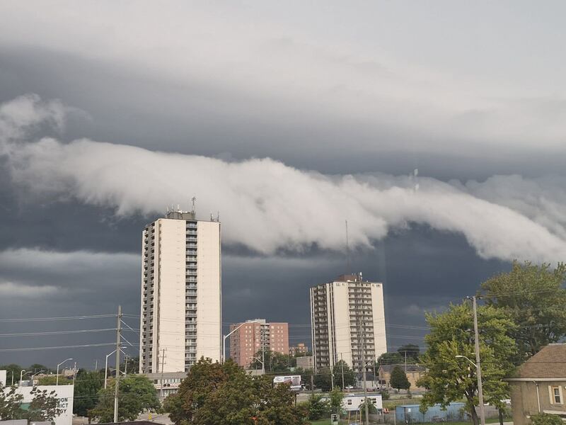
Storm clouds on Wednesday, Sept. 2, 2026. (Andrea Couper)
Storm clouds on Wednesday, Sept. 2, 2026. (Derek Weber)
Storm clouds on Wednesday, Sept. 2, 2026. (Emma Kilbaska)
Storm clouds on Wednesday, Sept. 2, 2026. (Don Oudekerk)
Storm clouds on Wednesday, Sept. 2, 2026. (Lorrie Powless)
A fallen tree following a storm across Toronto and southwestern Ontario, Wednesday, Sept. 2, 2026.(@_victoriaspence / TikTok)
A lightning-struck tree brought down a line near the Wheatley Provincial Park entrance. (Travis Fortnum/CTV News London)
Damage after a storm ripped through east Windsor, Ont. seen on Sept. 3, 2026. (Kate Otterbein/CTV News Windsor)
Damage after a storm ripped through east Windsor, Ont. seen on Sept. 3, 2026. (Kate Otterbein/CTV News Windsor)
Flooding in the Westmount and Alexandra area of Waterloo, Ont. was photographed following a powerful storm on Sept. 2, 2026. (Nicole Renfer)
A broken tree branch resting on a hydro line in Wellesley, Ont. (Dave Pettitt/CTV News)
A tree on a Rittenhouse Road property that was damaged during a storm on Sept. 2, 2026. (Rowen Fisler/CTV News)
A tree on Charnwood Court in Kitchener that was damaged during a storm on Sept. 2, 2026. (Rowen Fisler/CTV News)
Storm damage in Essex County, Ont., on Thursday, Sept. 3, 2026. (Sanjay Maru/CTV News Windsor)
Storm damage in Essex County, Ont., on Thursday, Sept. 3, 2026. (Sanjay Maru/CTV News Windsor)
Storm damage in Essex County, Ont., on Thursday, Sept. 3, 2026. (Sanjay Maru/CTV News Windsor)
Damage after a storm ripped through east Windsor, Ont. seen on Sept. 3, 2026. (Kate Otterbein/CTV News Windsor)
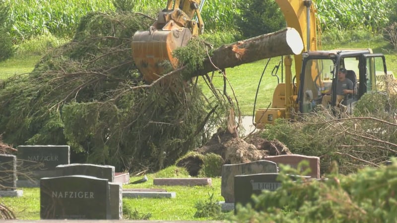
Trees downed by a powerful storm were cleared from the Maple View Mennonite Church property in Wellesley, Ont. on Sept. 3, 2026. (Dave Pettitt/CTV News)
Storm damage in Essex County, Ont., on Thursday, Sept. 3, 2026. (Sanjay Maru/CTV News Windsor)
Storm damage in Paris, Ont., Wednesday, Sept. 2, 2026. (Submitted)
Storm damage in Paris, Ont., Wednesday, Sept. 2, 2026. (Submitted)
“Everything seemed to come together, the huge amounts of rain, the wind, the visibility, everything, the hail, at around 5 o’clock in the afternoon,” retired Environment Canada senior climatologist David Phillips told CP24.com on Thursday.
“Of course, that’s probably the most vulnerable time for Torontonians as they’re leaving work or getting on the road to get home.”
Heat and humidity were ‘fuel’
CP24 Meteorologist Bill Coulter said a tropical air mass filled with heat and humidity fueled the storm.
He added that the cold front descending from the north acted like a “steam shovel” digging under the hot and humid air.
“That ignition was happening late afternoon, at the point of maximum daytime heating, literally when that fuel was most volatile,” he said Thursday.
“The cold front pushed the warm, moist air quickly up to cooler layers of the atmosphere where it rapidly condensed and built into towering cumulous clouds. Powerful updrafts held up the core of water and ice until it became too heavy.”
The rain fell in torrents, Coulter said, and the hail followed.
“The downdraft as the core of both fell created violent winds extending outward from the storms,” he said.
“Any sunshine that returned between waves of storms only served to destabilize the atmosphere further and recharge the atmosphere with that fuel of heat and humidity.”
Canada’s national weather agency sent out a flurry of alerts, including a severe thunderstorm warning, ahead of and during the storm.
Coulter noted that these types of weather events are rare in Toronto.
“Toronto tends to not get a lot of these kind of really powerful storms because often the cold front comes in from the west, interacts with the Niagara Escarpment, that kind of flattens out the cloud,” he said.
“Then as it expands on the eastern side of the escarpment, it dries out a little bit, and then it redevelops on the east side of the GTA and eastward.”
He said what was different about this storm is that it came from the north.
“This coming down from the north had no interactions (with the escarpment) so you had these ripples ahead of the cold front that gave wave after wave of ignition to this tropical air mass,” Coulter said.
“And boy did we pay the price yesterday.”
He said the storm will be “one for the history books.”
Scenes from Toronto and southwestern Ontario storm, Wednesday, Sept. 2, 2026. Scenes from Toronto and southwestern Ontario storm, Wednesday, Sept. 2, 2026.
‘Becoming more of a pattern’
Toronto’s city manager said Thursday that the storm, which brought more than 110 millimetres of water to some parts of the city on Wednesday, met the threshold of a “100-year storm” due to the rainfall totals.
“The reality is weather is never the same twice. This was a storm that brought a large amount of rain across the city of Toronto,” Paul Johnson said.
“It is a bit unique in that. I’ve talked to some of our folks, particularly in Toronto Water, and we’ve not seen an event like this that’s brought this amount of water across the city of Toronto. It has been isolated.”
Phillips said the storm was reminiscent of previous major storms Toronto has seen over the past 15 years.
“We had one about two years ago that did almost a billion dollars of damage,” he said, pointing to the 2024 storm that also closed down the Don Valley Parkway and caused mass flooding at Union Station.
A summer storm in 2013 also inundated the city with water, flooding streets and transit vehicles.
“We’re seeing 100-year storms don’t take 100 years to come. We’re seeing like a dozen in 100 years,” Phillips said.
“This is just the kind of a sign of the times … It wasn’t a one-off. This wasn’t something you’d see once in a lifetime. This is becoming more of a pattern that we’ve seen in our summers during our hot seasons in the Toronto area.”
Vaughan flooding An industrial neighbourhood in Vaughan turned into a river as heavy rains flooded the roads, submerging cars, trucks, and transit buses. Drivers stranded under flooded Toronto underpass rescued by police Drivers stranded under flooded Toronto underpass rescued by police