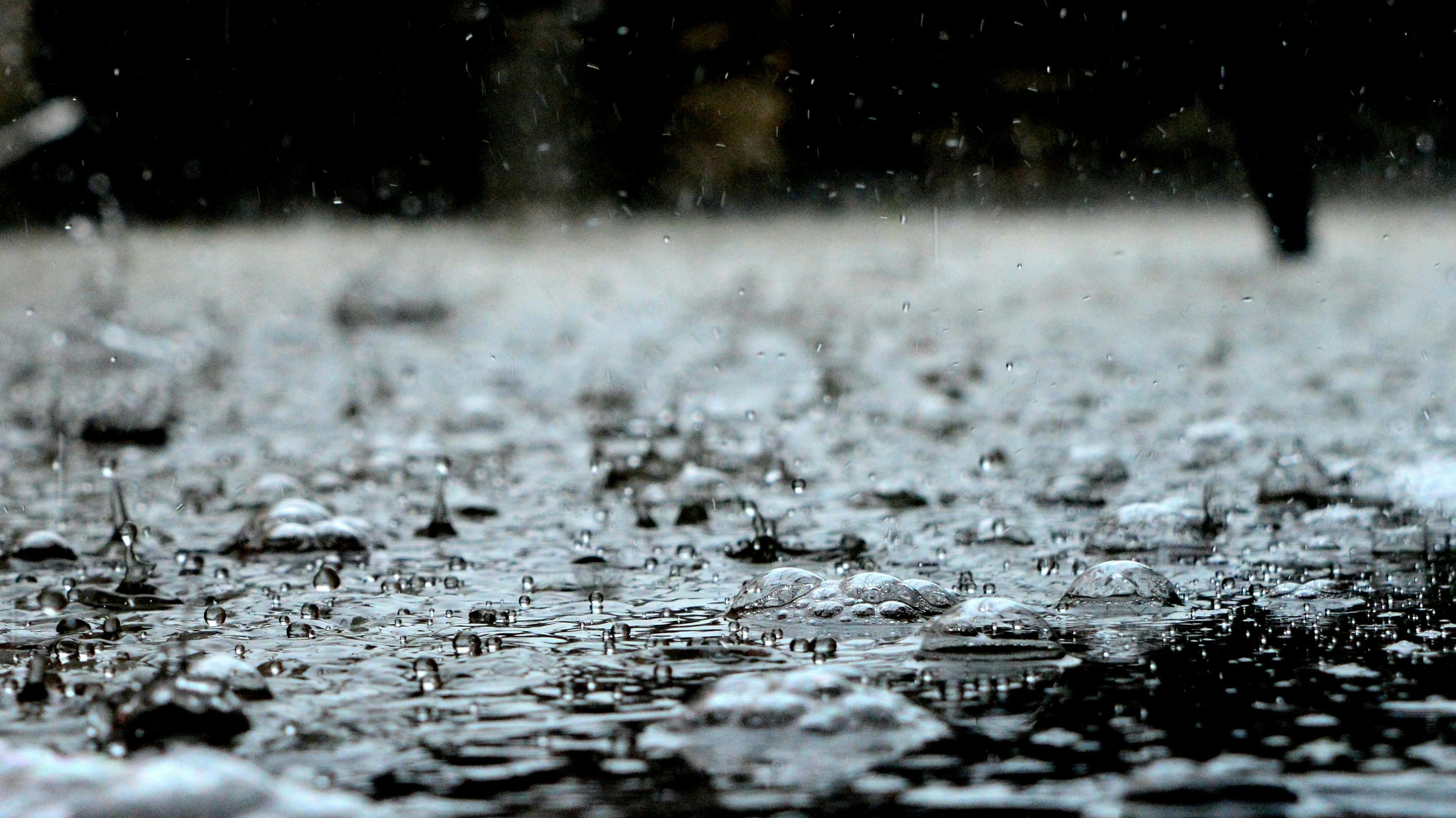
Ontario and Quebec have rainfall warnings in effect, with heavy precipitation and thunderstorms expected in some areas Thursday, according to Environment Canada.
Environment Canada noted that rainfall warnings are issued when “significant rainfall” is expected.
Other areas in the country also have special weather statements in effect due to rain, smoke from wildfires and high temperatures.
Ontario
In Ontario, the rainfall warnings cover communities north of the Toronto area and Orillia, as well as outside Ottawa. For instance, the area covering Parry Sound, Rosseau and Killbear Provincial Park is expected to see between 40 and 60 millimetres of rainfall that will continue through the afternoon.
“Rain, at times heavy, and possible embedded thunderstorms are expected to taper to showers later today,” reads the warning on Environment Canada’s website as of 3:22 a.m. EDT Thursday.
The government advises people to contact their local conservation authority or Ontario Ministry of Natural Resources office for information on potential flooding or visit the province’s webpage on floods.
“Heavy downpours can cause flash floods and water pooling on roads. Localized flooding in low-lying areas is possible,” according to Environment Canada.
“If visibility is reduced while driving, slow down, watch for tail lights ahead and be prepared to stop.”
Quebec
In Quebec, numerous areas outside of Montreal and Quebec City have rainfall warnings.
For instance, the municipality of Saint-Donat and the Mont-Tremblant Park area could receive between 40 and 60 mm of rainfall until Thursday night.
A severe thunderstorm watch is also in place for some sites, including Montreal, with a risk of a tornado as of 9:18 a.m. EDT Thursday.
“Conditions are favourable for the development of dangerous thunderstorms capable of producing very strong wind gusts, damaging hail and heavy downpours this afternoon and this evening,” according to Environment Canada.
It advises people to head indoors if they hear thunder, noting lightning could kill and injure people.
Environment Canada warns that nautical activities could be dangerous because of “sudden, violent wind gusts.”
Alberta
Parts of Alberta outside of Edmonton have special weather statements as of 4:40 a.m. MDT on Thursday.
In southern Alberta, including Calgary, heavy precipitation and strong winds are forecast this weekend, with rain starting Friday, according to Environment Canada.
By Sunday afternoon, it said rainfall amounts could range between 50 and 100 mm.
The Alberta foothills are expected to get the heaviest rain, with some southern areas possibly receiving between 100 and 200 mm.
Moreover, Environment Canada noted that the weather in the region will be cooler by Friday night, and mountainous sites will see snow.
“The snow will be very wet and heavy, and accumulations will be highly variable,” according to Environment Canada, noting up to 10 or 20 cm is possible over areas such as southern parts of Highway 93.
Trees could be damaged, it warns, as strong northerly winds, with gusts of 60 to 80 km/h, are expected to form on Saturday.
British Columbia
Special weather statements are in place for a few areas in northeastern British Columbia, with about 20 mm of rainfall possible.
Places near the Rockies, including in the B.C. Peace River region and northern parts of the Williston region, will receive heavy rain on Thursday, according to Environment Canada.
Some areas could receive up to 50 mm, it added.
Northwest Territories
The Fort Liard region in the Northwest Territories has a special air quality statement because of smoke from nearby wildfires.
It warned of “poor air quality,” with visibility that could change over short distances and from hour to hour.
“As smoke levels increase, health risks increase,” Environment Canada wrote. “Limit time outdoors. Consider reducing or rescheduling outdoor sports, activities and events.”
Yukon
Sections of Yukon outside of Whitehorse have special weather statements.
High temperatures are forecast for Old Crow, Dempster, Dawson, Mayo, Beaver Creek and Pelly – Carmacks from Thursday through the weekend, Environment Canada wrote.
Daytime highs will reach the mid- to high-20s and overnight lows will be in the low teens, it added.
The heat will reach its peak on the weekend before gradually cooling early next week.
Environment Canada is warning people about the dangers of extreme heat. It says to stop activity and drink water if you notice your urine is dark and you feel thirsty, as well as if you suffer from intense fatigue, headache, nausea and dizziness.

