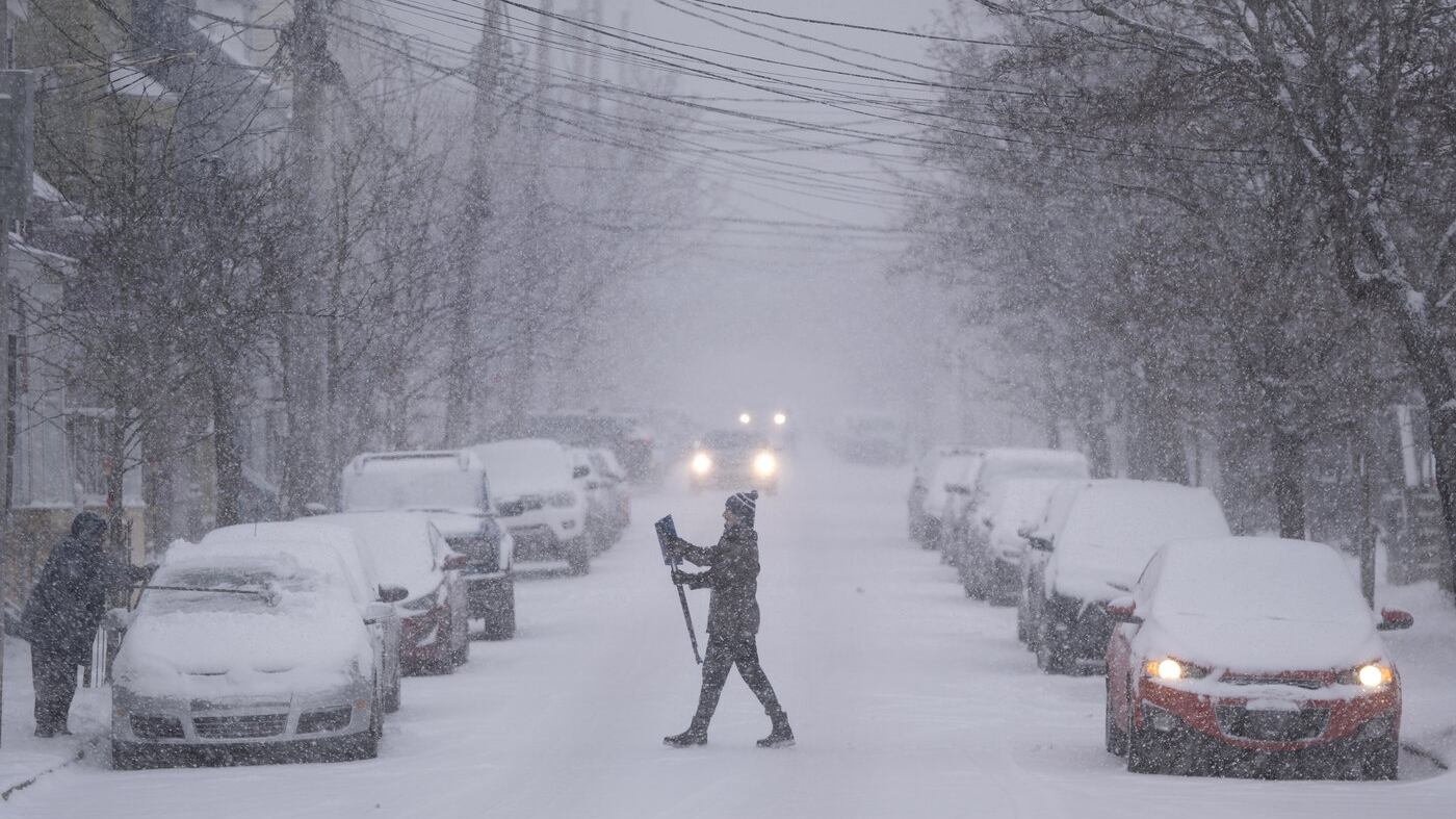
A slow-moving Nor’easter will bring an extended period of snow to the Maritimes late Sunday night through Tuesday morning. Most of the region can expect at least 15 cm of snow with some areas getting as much as 30 to 40 cm. Here is a province-by-province summary.

New Brunswick
A Yellow Warning - Snowfall is in effect across the southern half of New Brunswick. The warning calls for snow totals of 20 to 30 cm beginning Sunday overnight and extending into Tuesday morning. The snow accompanied by gusty winds making for periods of blowing and drifting snow.
The snow is expected to be “powdery” by nature making it easier to blow into drifts. The snow amount becomes lower the further north in the province your community is. Here are my expectations for a few select communities:
Miramichi: 10-15 cm
Fredericton: Near 20 cm
Moncton: Near 20 cm
Saint John: Near 30 cm
Grand Manan: 30 to 40 cm
Snowfall rates are expected to be highest early Monday morning with a second period of higher snowfall rates Monday evening and night. Cold air remains in place through the snow and following it with daytime highs on Tuesday between -7 and -10 for the province.

Nova Scotia
A Yellow Warning - Winter Storm remains in effect for Digby, Yarmouth, Shelburne, and Queens counties. Snow totals of 25 to 35 cm expected late Sunday night through Tuesday morning. Wind gusts during the day could peak as high as 60 to 80 km/h making for more extensive blowing snow and whiteout conditions. The warning advises to postpone travel until conditions improve if possible. The wind gusts are forecast to diminish Monday evening and night.
The remainder of Nova Scotia is under a Yellow Warning - Snowfall. The warning calls for snow amounts of 20 to 30 cm with peak gusts as high as 50 to 70 km/h. Periods of blowing and drifting snow expected. Here are my expectations for a few select communities:
Sydney: Near 30 cm
New Glasgow: 30 to 35 cm
Halifax: 30 to 40 cm
Kentville: 30 to 40 cm
Yarmouth: Near 40 cm **unless mixing with ice pellets, then lower**
Some of the highest snowfall rates are expected late Sunday night through early Monday morning. After that I expect that snow will fall at a fairly constant rate through early Tuesday morning though there may be some lulls, brief periods where it falls lighter or even seems to stop. Colder air returns behind the snow with daytime highs on Tuesday between -4 and -7.

Prince Edward Island
As of Sunday morning a Special Weather Statement remained in effect for Prince Edward Island. The statement calls for a potential snowfall of 15 to 25 cm beginning early Monday morning and extending through Tuesday afternoon. Occasional gusts of 50 to 70 km/h may accompany the snow creating periods of blowing and drifting snow.
Here are my expectations for some select communities:
Alberton: 10-15 cm
Summerside: 15-20 cm
Charlottetown: 20-25 cm
Montague: 20-25 cm
Snowfall rate increases through early Monday morning. After that I expect a pretty constant rate of snow through Monday, Monday night, and early Tuesday morning. Like the rest of the Maritimes there may be lulls or brief pauses in the snow. Cold air remains in place through the snowfall and following it. The daytime highs on Tuesday near -6.

How to be prepared
Continue to monitor your forecast and any weather alerts in effect for your area. Check for delays and cancellations of scheduled events on Monday and Tuesday. Expect snow covered and slippery road conditions with reduced visibility at times in both falling and blowing snow. Make sure your vehicle is topped up on washer fluid, has a snow brush in it, and that you will have what you need in the event of an accident that requires you to wait for assistance.
At home, make sure you have easy access to shovels and snow blowers. Check for fuel and necessary replacement parts like auger pins. Make sure that you clear house vents of any snow as well as your driveway and walking paths. Have batteries and flashlights available in the event of a power outage. If using a generator make sure it is properly ventilated and that you have working carbon monoxide detectors in your residence. Check on those who may be more vulnerable or have greater difficulty in dealing with the snowy weather.

