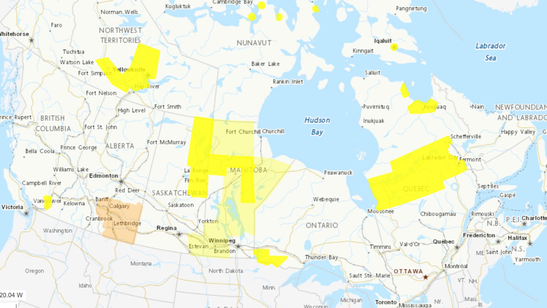
Canadians woke up to another warm summer day after record-breaking temperatures reached parts of the Arctic and Atlantic Canada, underscoring the remarkable reach of this weekend’s heat.
Environment Canada says the country’s hottest location early Sunday was McCreary, Manitoba, where temperatures climbed to 29.9 C on Saturday. At the other end of the spectrum, Sachs Harbour Airport, The Northwest Territories, was Canada’s cold spot at 0.1 C, highlighting the nearly 30-degree temperature contrast stretching from the Prairies to the High Arctic.
Several northern communities also rewrote the record books on Saturday.

In Nunavut, daily maximum temperature records were set in Arctic Bay (19.0 C), Cambridge Bay (22.1 C), Coral Harbour (27.1 C), Kinngait (20.9 C), Kugaaruk (27.5 C) and Sanirajak (25.4 C), according to Environment Canada. Several of those records had stood for decades, with Cambridge Bay’s previous mark dating back to 1930.
Farther east, the Winterland area in Newfoundland also established a new daily high of 25.7 C, surpassing the previous July 4 record of 24.6 C set in 2005.
Sunday’s weather map shows warm conditions stretching across much of southern Canada, with afternoon temperatures expected to reach the upper 20s across parts of Ontario, Quebec and the Prairies. Even communities across the North are expected to remain unusually mild for early July.
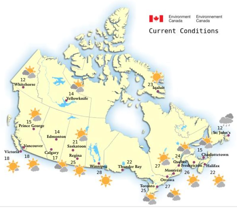
The prolonged heat event that blanketed southern Ontario over the past week has finally eased.
Toronto’s heat warning ended Saturday night, with temperatures expected to remain below 30 C through the first half of the week, although climatologists say the reprieve is expected to be temporary as hotter weather returns later this month.
Atlantic Canada remains warm and humid, although conditions are becoming more unsettled. Parts of the region could see showers and thunderstorms as the day progresses.
Halifax, meanwhile, is continuing to recover after a Friday evening power outage left roughly 44,000 customers without electricity during peak heat, when temperatures reached 30 C with a humidex of 36.
Across the Prairies, the weather picture is more mixed.
Calgary is expected to see another chance of afternoon showers or thunderstorms during the opening weekend of the Calgary Stampede, while forecasters say hotter weather will build early next week.

In Saskatchewan, producers continue assessing flooding and crop damage after heavy rain and hail in some regions, with warmer and drier conditions expected to help field work resume in the days ahead.
Elsewhere in southern Ontario, residents in the Windsor area are also watching the forecast closely after a stretch of oppressive heat, with changing conditions expected to bring some relief and an increased chance of unsettled weather.
Environment Canada advises Canadians to continue monitoring local forecasts, stay hydrated during periods of hot weather and remain alert for rapidly changing conditions where thunderstorms are expected.

