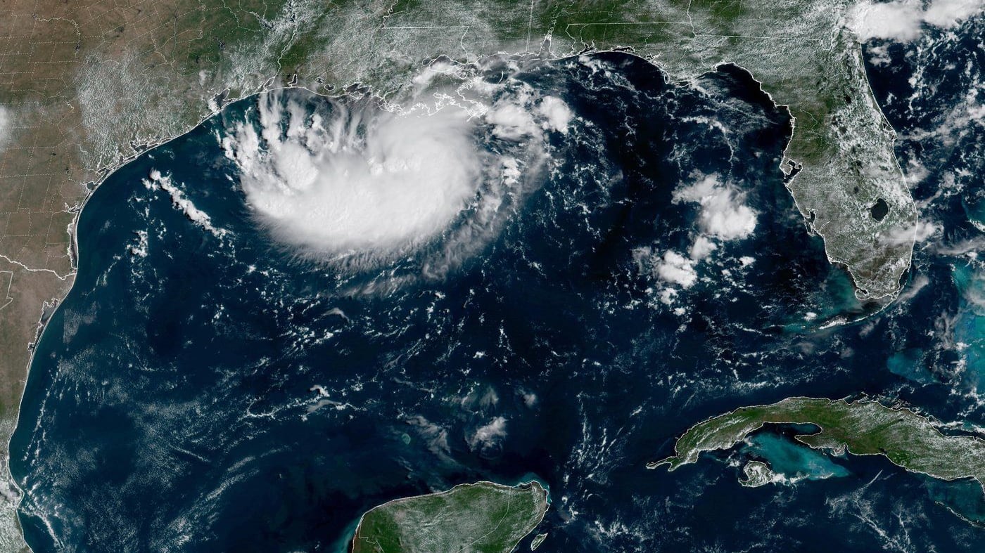
MIAMI — The U.S. National Hurricane Center issued a tropical storm warning on Monday for the Gulf of Mexico coast from the Galveston and Houston, Texas, area to the western parishes of Louisiana.
The storm was upgraded Monday night from a tropical depression to Tropical Storm Edouard. Forecasters expect it will continue to strengthen before it makes landfall in Texas on Tuesday.
Texas Gov. Greg Abbott said the biggest problem expected from the storm is flooding. Forecasters are anticipating three to six inches (seven to 15 centimetres) of rain in the greater Houston area, with some areas of the state’s upper coast getting up to 9 inches (22 centimetres). More than four inches (10 centimetres) per hour could fall and will likely cause flash flooding in low-lying and urban areas, according to the National Hurricane Center.
“This is our first big storm of the season, and I’ll tell you, Texas is prepared,” Orlando Alanis of the Texas Division of Emergency Management said during a news conference.
The tropical storm was centred Monday evening about 140 miles (225 kilometres) southeast of Cameron, Louisiana, and 175 miles (280 kilometres) southeast of Port Arthur, Texas, with maximum sustained winds of 40 m.p.h. (65 km/h).
Crews worked Monday to clear dry vegetation that could ignite from a lightning strike and cause fast-spreading fires, Abbott said.
Meanwhile, the remnants of Tropical Storm Dolly brought rain and thunderstorms to parts of Haiti and the Dominican Republic, the Turks & Caicos, and the Bahamas, the hurricane centre said.
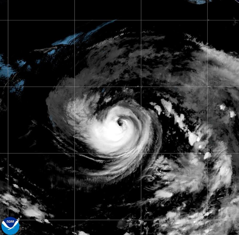
In the Pacific Ocean, Tropical Storm Lowell was about 740 miles (1,190 kilometres) southeast of Hilo, Hawaii, and moving west with maximum sustained winds of 65 m.p.h. (100 km/h). Forecasters said Lowell could rapidly intensify by Monday night or Tuesday and reach the vicinity of the Hawaiian Islands later this week.
Elsewhere in the Pacific, Hurricane Karina strengthened Monday into a powerful Category 4 storm, but isn’t threatening land, forecasters said.
Karina has intensified quickly since becoming a hurricane Sunday, fuelled by warm waters far from any shore. It was centred about 1,055 miles (1,700 kilometres) west-southwest of the southern tip of the Baja California peninsula of Mexico and moving west, with maximum sustained winds of 140 m.p.h. (220 km/h), the centre said.
There were no coastal watches or warnings in effect, but waves were expected to affect Mexico and likely Southern California. Additional strengthening was possible on Monday, followed by fluctuations in intensity, the Miami-based centre said.
Correction
The Associated Press erroneously reported the source of rain and thunderstorms. It was the remnants of Tropical Storm Dolly, not the remnants of Hurricane Dolly.