Environment and Climate Change Canada (ECCC) has issued weather warnings across almost all of southern Ontario ahead of a storm expected to move in Wednesday afternoon, bringing with it a wintry mix of snow and freezing rain.
The entirety of the region, with the exception of Algonquin and Bayfield Inlet, has been placed under a winter storm, snowfall, or freezing rain warning.
Widespread light flurries are expected Wednesday morning, with chances of freezing rain mixed in in some regions, the agency forecasts. Heavier precipitation is expected into Wednesday night and early Thursday morning.
Environment Canada said accumulation might be lower in areas that would see a greater period of mixing with ice pellets and freezing rain.
Precipitation is expected to taper off into Thursday morning, ECCC said.
TORONTO WEATHER FORECAST
The City of Toronto is under a winter storm warning, and could see up to 15 cm of precipitation by Thursday morning.
“Light snow will become heavy at times late this afternoon or early this evening,” the agency says of the Greater Toronto Area. “Snow will become mixed with ice pellets and may intermittently change over to freezing rain tonight.”
The agency is warning residents of treacherous travel conditions and advises extra caution when walking or driving in affected areas.
“Surfaces such as highways, roads, walkways and parking lots will become icy, slippery and hazardous,” the warning reads.”There may be a significant impact on rush hour traffic in urban areas. If visibility is reduced while driving, slow down, watch for tail lights ahead and be prepared to stop.”
CTV News Toronto's meteorologist Lyndsay Morrison said the storm in Toronto is expected to be "high impact," with wind gusts possible.
Environment Canada said Toronto will reach a high of 0 C on Wednesday with a wind chill of -10 in the morning. A high of 1 C is in the forecast for Thursday, with a low of – 10 C by the evening.
In advance of the storm, city officials say that liquid salt brine will be applied to expressways and other priority locations, beginning in the overnight hours. The officials say that salting will then begin “as soon as the snow starts to accumulate” on Wednesday.
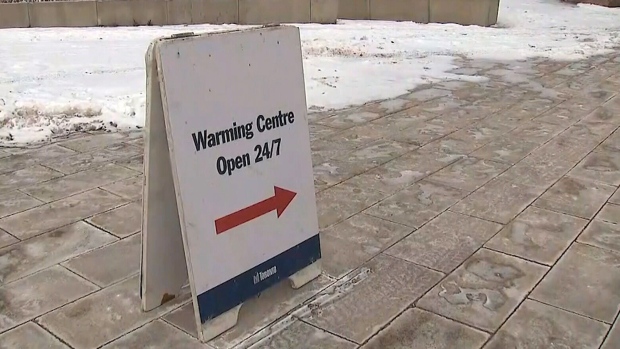
Meanwhile, the city’s warming centres are all expected to be open as the storm begins to hit Toronto.
One of the city’s warming centres, located at Metro Hall, is already open.
Officials say that the three remaining warming centres at Scarborough Civic Centre, Mitchell Field Community Centre and Cecil Community Centre will open at 7 p.m. tomorrow.
As for what residents can expect, CP24 Meteorologist Bill Coulter said that the storm should arrive in Toronto around the dinner hour on Wednesday and “last with intensity” through the morning rush hour on Thursday. By the time it is over, Coulter anticipates 10 to 20 centimetres of snowfall accumulation.
He said that light precipitation will also continue into the day on Thursday “with a mixed bag of freezing rain and ice pellets.”
“It is going to be quite dangerous as the cleanup continues on Thursday and it will probably slow you down at the very least. Really, it will be a difficult travel period from late Wednesday and through the day on Thursday,” he said.
A winter storm warning is also in effect in Peel, Durham, York and Halton regions.
With files from CP24’s Chris Fox.


